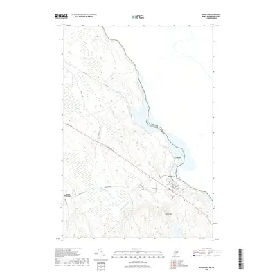
2018 Map of Woodland
USGS Topo · Published 2018About this map
The St. Croix River forms a definitive international boundary between the United States and Canada, anchoring the eastern edge of this landscape. The settlement of Woodland serves as a primary hub of activity, where a grid of streets including Main St, Summit St, and Broadway meets the river's edge. Just north, Woodland Junction suggests a historical convergence of transport routes, while South Princeton marks the southwestern extent of local habitation.
Find a feature on this map
28 named features on this map. Tap any name to fly to it.
Don’t see what you’re looking for? This feature index may not catch every label — zoom into the map to look around manually.
Map Details
Editions of this 2018 Woodland Map
This is the sole edition of this map. No revisions or reprints were ever made.
Other maps of this area

1929 · Calais
USGS Topo · 1:48,000

1932 · Calais
USGS Topo · 1:62,500

1940 · Waite
USGS Topo · 1:62,500

1940 · Kellyland
USGS Topo · 1:62,500

1941 · Big Lake
USGS Topo · 1:62,500

1942 · Kellyland
USGS Topo · 1:62,500

1942 · Waite
USGS Topo · 1:62,500

1943 · Big Lake
USGS Topo · 1:62,500

1949 · Calais
USGS Topo · 1:24,000

1952 · Big Lake
USGS Topo · 1:50,000