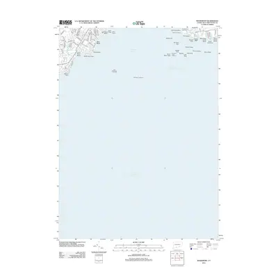
2012 Map of Woodmont
USGS Topo · Published 2012About this map
Lighthouse Point and the adjacent harbor entrance define this coastal landscape, where the maritime history of the Connecticut shoreline is recorded through a series of navigational landmarks. Navigators and local residents recognize the strategic position of the Five Mile Point Lighthouse and the isolated Southwest Ledge Lighthouse, which guard the New Haven Harbor Entrance Channel. The map illustrates a developed residential fringe along the Long Island Sound, characterized by established neighborhoods such as West Shore and South End.
Find a feature on this map
67 named features on this map. Tap any name to fly to it.
Don’t see what you’re looking for? This feature index may not catch every label — zoom into the map to look around manually.
Map Details
Editions of this 2012 Woodmont Map
This is the sole edition of this map. No revisions or reprints were ever made.
Other maps of this area

1889 · Derby
USGS Topo · 1:62,500

1891 · Bridgeport
USGS Topo · 1:62,500

1891 · Derby
USGS Topo · 1:62,500

1892 · New Haven
USGS Topo · 1:62,500

1893 · Bridgeport
USGS Topo · 1:62,500

1893 · Derby
USGS Topo · 1:62,500

1920 · Bridgeport
USGS Topo · 1:62,500

1921 · New Haven
USGS Topo · 1:62,500

1943 · New Haven
USGS Topo · 1:31,680

1947 · Hartford
USGS Topo · 1:250,000