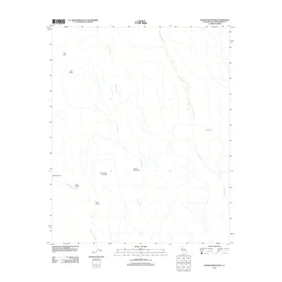
2012 Map of Woods Mountains
USGS Topo · Published 2012About this map
Woods Mountains dominate this high-desert landscape in San Bernardino County, where the terrain is defined by a network of ephemeral drainages and volcanic peaks. The map reveals a complex system of washes, including the prominent Woods Wash and Watson Wash, which trace the low-lying paths through the mountain range. Significant landforms such as Tortoise Shell Mountain and the distinctive Table Top plateau offer clear reference points across the arid expanse.
Find a feature on this map
11 named features on this map. Tap any name to fly to it.
Don’t see what you’re looking for? This feature index may not catch every label — zoom into the map to look around manually.
Map Details
Editions of this 2012 Woods Mountains Map
This is the sole edition of this map. No revisions or reprints were ever made.
Other maps of this area

1910 · Ivanpah
USGS Topo · 1:250,000

1912 · Ivanpah
USGS Topo · 1:250,000

1942 · Ivanpah
USGS Topo · 1:250,000

1942 · Amboy
USGS Topo · 1:250,000

1943 · Amboy
USGS Topo · 1:250,000

1943 · Fenner
USGS Topo · 1:62,500

1947 · Kingman
USGS Topo · 1:250,000

1948 · Kingman
USGS Topo · 1:250,000

1954 · Needles
USGS Topo · 1:250,000

1954 · Kingman
USGS Topo · 1:250,000