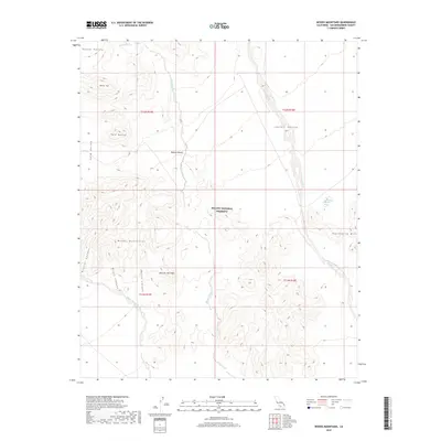
2018 Map of Woods Mountains
USGS Topo · Published 2018About this map
The Mojave National Preserve encompasses most of this landscape, where the high desert is defined by the volcanic formations of the Woods Mountains and Tortoise Shell Mtn. The topography is a complex network of dry drainage systems, most notably the Woods Wash and Watson Wash, which channel seasonal runoff through the basins. These washes are central to the area's geography, cutting through the surrounding Lanfair Valley and Gold Valley.
Find a feature on this map
21 named features on this map. Tap any name to fly to it.
Don’t see what you’re looking for? This feature index may not catch every label — zoom into the map to look around manually.
Map Details
Editions of this 2018 Woods Mountains Map
This is the sole edition of this map. No revisions or reprints were ever made.
Other maps of this area

1910 · Ivanpah
USGS Topo · 1:250,000

1912 · Ivanpah
USGS Topo · 1:250,000

1942 · Ivanpah
USGS Topo · 1:250,000

1942 · Amboy
USGS Topo · 1:250,000

1943 · Amboy
USGS Topo · 1:250,000

1943 · Fenner
USGS Topo · 1:62,500

1947 · Kingman
USGS Topo · 1:250,000

1948 · Kingman
USGS Topo · 1:250,000

1954 · Needles
USGS Topo · 1:250,000

1954 · Kingman
USGS Topo · 1:250,000