2023 Map of Woodsboro
USGS Topo · Published 2023About this map
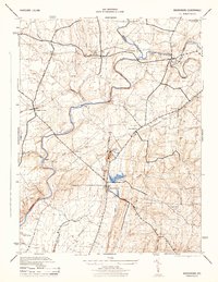
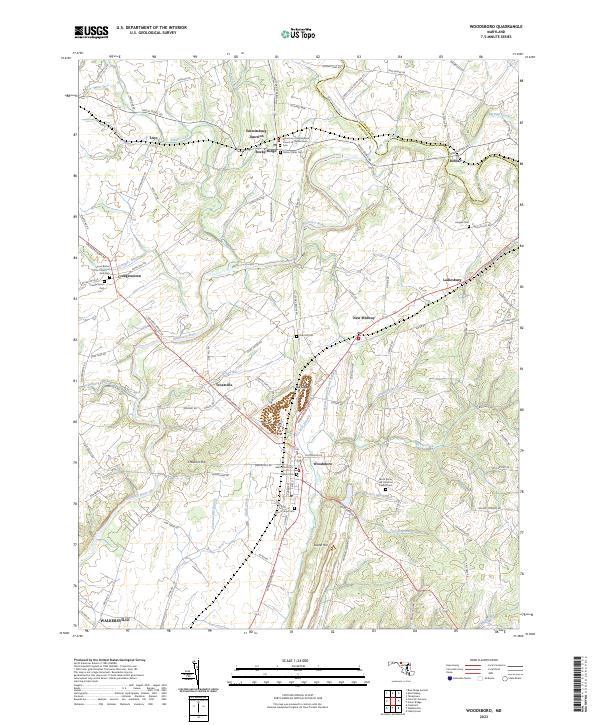
Woodsboro sits at the heart of this landscape, where the Woodsboro Pike meets the rolling drainage of Israel Creek. This Frederick County corridor is defined by its deep-rooted agricultural and spiritual foundations, evidenced by the high density of historic cemeteries and congregations such as the Grace Rocky Hill Lutheran Church and the Union Bethel of the Church of God. The terrain is shaped by the Monocacy River and its numerous tributaries, including Double Pipe Creek and Little Pipe Creek near Detour. Local history is preserved in the cluster of burial grounds surrounding the main settlements, from the Saint Johns Cem to the Mount Tabor Cem at Rocky Ridge. These features reflect a legacy of small, family-centric communities and transportation junctions like Emmitsburg Junction and Le Gore.
Find a feature on this map
114 named features on this map. Tap any name to fly to it.
Don’t see what you’re looking for? This feature index may not catch every label — zoom into the map to look around manually.
Map Details
Editions of this 2023 Woodsboro Map
This is the sole edition of this map. No revisions or reprints were ever made.
Historical Maps of Vicmyer Vista Through Time
3 maps found