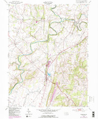
1953 Map of Woodsboro
USGS Topo · Published 1987About this map
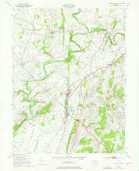
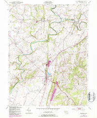
The Monocacy River winds through the central valley of this Frederick County landscape, where the Midland railroad line connects a string of rural agricultural and industrial hubs. In Woodsboro, the town layout is clearly defined near the Mt Hope Cem and a local Fish Hatchery, while Walkersville anchors the southern reaches of the map. The rail network’s influence is evident at Emmitsburg Junction and through the small villages of Rocky Ridge and New Midway that grew along its path. Historical river crossings, such as Mumma Ford and the Le Gore Bridge, highlight the importance of the river in local transport. Notable landmarks for genealogical research include the Rocky Hill Ch and the Oak Hill Cem, which sit among the rolling elevations of Chestnut Ridge and Laurel Hill.
Find a feature on this map
40 named features on this map. Tap any name to fly to it.
Don’t see what you’re looking for? This feature index may not catch every label — zoom into the map to look around manually.
Map Details
Editions of this 1953 Woodsboro Map
6 editions found
Other maps of this area

1893 · Frederick
USGS Topo · 1:125,000

1894 · Frederick
USGS Topo · 1:125,000

1908 · Ijamsville
USGS Topo · 1:62,500

1909 · Mount Airy
USGS Topo · 1:62,500

1909 · Ijamsville
USGS Topo · 1:62,500

1911 · Taneytown
USGS Topo · 1:62,500

1911 · Emmitsburg
USGS Topo · 1:62,500

1942 · Frederick
USGS Topo · 1:62,500

1942 · Gettysburg
USGS Topo · 1:125,000

1943 · Emmitsburg
USGS Topo · 1:62,500