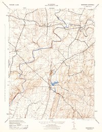
1944 Map of Woodsboro
USGS Topo · Published 1944About this map
The Monocacy River and its numerous tributaries, including Israel Creek, Hunting Creek, and Double Pipe Creek, define the agricultural and transit landscape of Frederick and Carroll Counties. This 1944 War Department survey highlights a region deeply integrated with rail transport, where the Pennsylvania and Western Maryland railroads intersect at Emmitsburg Junction and serve small hubs like Rocky Ridge and Woodsboro. Local industry and commerce are evident in the presence of Wiley Mill and several Fish Ponds near the center of the quadrangle.
Find a feature on this map
34 named features on this map. Tap any name to fly to it.
Don’t see what you’re looking for? This feature index may not catch every label — zoom into the map to look around manually.
Map Details
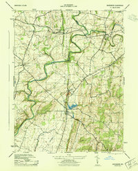
Editions of this 1944 Woodsboro Map
2 editions found
Other maps of this area

1893 · Frederick
USGS Topo · 1:125,000

1894 · Frederick
USGS Topo · 1:125,000

1908 · Ijamsville
USGS Topo · 1:62,500

1909 · Mount Airy
USGS Topo · 1:62,500

1909 · Ijamsville
USGS Topo · 1:62,500

1911 · Taneytown
USGS Topo · 1:62,500

1911 · Emmitsburg
USGS Topo · 1:62,500

1942 · Frederick
USGS Topo · 1:62,500

1942 · Gettysburg
USGS Topo · 1:125,000

1943 · Emmitsburg
USGS Topo · 1:62,500