Loading...
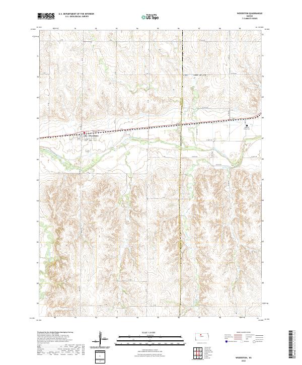
Loading map...2022 Map of Woodston
USGS Topo · Published 2022About this map
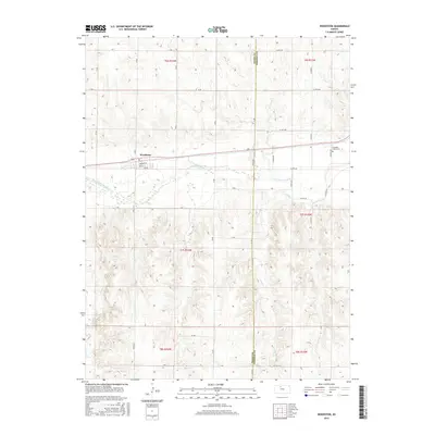
Woodston serves as the primary hub for this rural Kansas landscape, where the town grid is defined by Main St, Penn St, and Spruce St. The settlement is situated just north of the S Fork Solomon River, which meanders across the quadrangle alongside lower-elevation drainages like Lucky Cr and Medicine Cr. The economic character of the region is evident in the presence of Elevator Rd, signaling the area's agricultural reliance and rail-connected history.
Find a feature on this map
41 named features on this map. Tap any name to fly to it.
Don’t see what you’re looking for? This feature index may not catch every label — zoom into the map to look around manually.
Map Details
Date Portrayed2022
Date Published2022
PublisherU.S. Geological Survey
Map TypeTopographic
Scale1:24,000
Physical Dimensions24 x 29 inches
Editions of this 2022 Woodston Map
This is the sole edition of this map. No revisions or reprints were ever made.
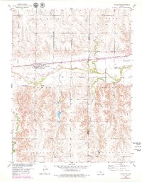
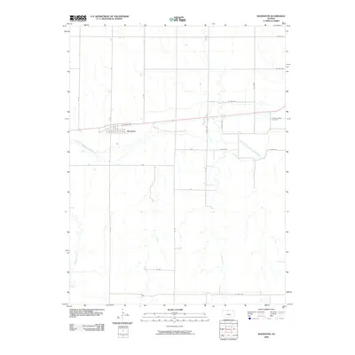
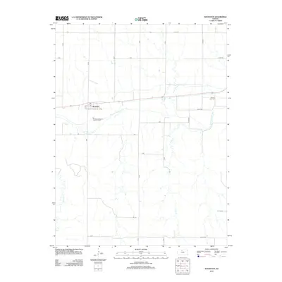
Historical Maps of Woodston Through Time
6 maps found
Featured Locations
Source Details
SourceU.S. Geological Survey
CopyrightPublic Domain