
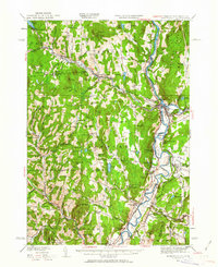
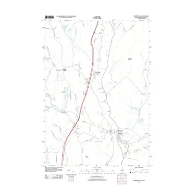
1931 Map of Woodsville
USGS Topo · Published 1931About this map
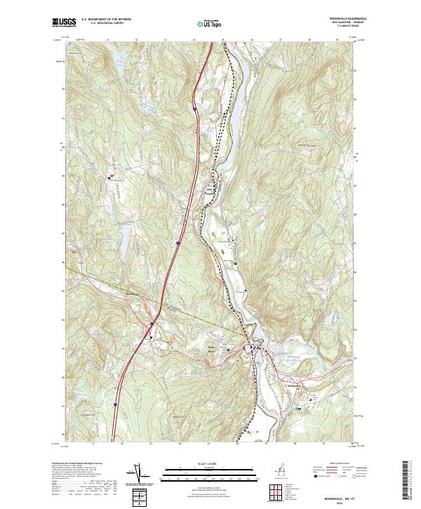
The Connecticut River serves as the focal point for this 1931 survey, which notes the state boundary was in controversy at the time of publication. The landscape is defined by the tight valley settlements of Monroe, Woodsville, and Haverhill, where the Boston and Maine railroad tracks hug the riverbank and connect vital transport hubs like Blackmount Sta. Agriculture and social infrastructure are evident in landmarks such as the County Poor Farm and several rural education sites, including No 5 School and Tracy Sch.
Find a feature on this map
26 named features on this map. Tap any name to fly to it.
Don’t see what you’re looking for? This feature index may not catch every label — zoom into the map to look around manually.
Map Details
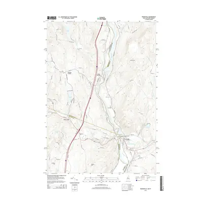
Editions of this 1931 Woodsville Map
This is the sole edition of this map. No revisions or reprints were ever made.
Historical Maps of Haverhill Through Time
10 maps found
1931 Woodsville
Grafton County, NH
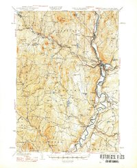
1935 Woodsville
Grafton County, NH
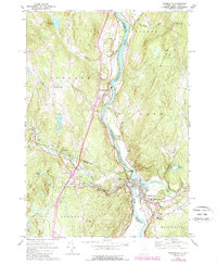
1941 Woodsville
Grafton County, NH
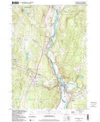
1973 Woodsville
Grafton County, NH
1999 Woodsville
Grafton County, NH
2012 Woodsville
Grafton County, NH
2015 Woodsville
Grafton County, NH
2018 Woodsville
Grafton County, NH
2021 Woodsville
Grafton County, NH
2024 Woodsville
Grafton County, NH