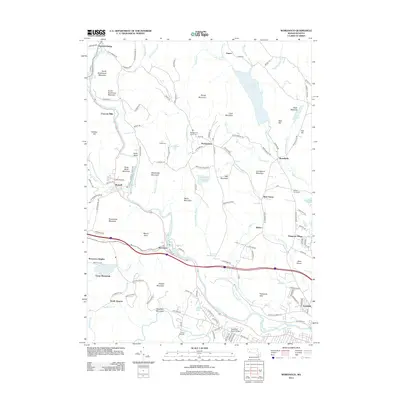
2012 Map of Woronoco
USGS Topo · Published 2012About this map
Westfield River and the Little River anchor this 2012 survey, carving through the upland terrain of Hampden County. The industrial and educational character of the region is evident, from the paper-making history implied by Crescent Mills and Woronoco to the sprawling campus of Westfield State College in the south. The landscape is defined by its water management and recreation, featuring the large Tighe Carmody Reservoir, Westfield Reservoir, and youth camps like Camp Woronoak and Camp Shepard. For genealogists, the map identifies several burial grounds including Montgomery Center Cem and the small Clarks Cem. Numerous peaks like Tekoa Mountain and Shatterack Mountain separate the clustered settlements of Montgomery and Russell from the residential developments of Wyben and Allen Plains.
Find a feature on this map
127 named features on this map. Tap any name to fly to it.
Don’t see what you’re looking for? This feature index may not catch every label — zoom into the map to look around manually.
Map Details
Editions of this 2012 Woronoco Map
This is the sole edition of this map. No revisions or reprints were ever made.
Other maps of this area

1885 · Northampton
USGS Topo · 1:62,500

1886 · Springfield
USGS Topo · 1:62,500

1886 · Chesterfield
USGS Topo · 1:62,500

1886 · Northampton
USGS Topo · 1:62,500

1887 · Granville
USGS Topo · 1:62,500

1888 · Chesterfield
USGS Topo · 1:62,500

1889 · Springfield
USGS Topo · 1:62,500

1889 · Granville
USGS Topo · 1:62,500

1891 · Northampton
USGS Topo · 1:62,500

1893 · Northampton
USGS Topo · 1:62,500