2022 Map of Wrenshall
USGS Topo · Published 2022About this map
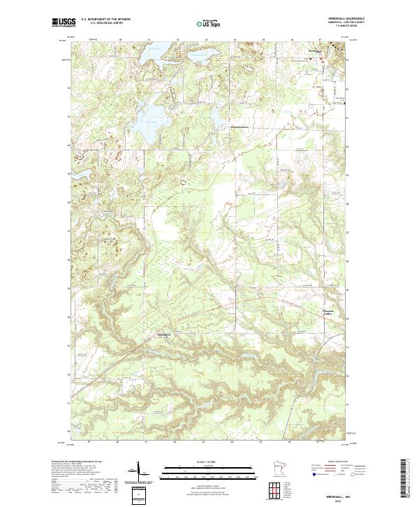
Wrenshall sits at the northern edge of this Carlton County landscape, where the local road network radiates toward several established settlements. Significant for genealogists and local historians, the area includes Saint John's Lutheran Cem and Silverbrook Cem, which serve the surrounding rural communities of Scotts Corner and Pleasant Valley. The terrain is defined by a dense hydrographic network, notably the winding Blackhoof River and the Nemadji River flowing through the southern townships.
Find a feature on this map
78 named features on this map. Tap any name to fly to it.
Don’t see what you’re looking for? This feature index may not catch every label — zoom into the map to look around manually.
Map Details
Editions of this 2022 Wrenshall Map
This is the sole edition of this map. No revisions or reprints were ever made.
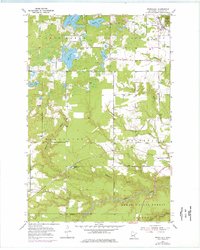
Historical Maps of Blackhoof Township Through Time
Featured Locations
- Holyoke Township, MN
- Clear Creek, MN
- Wrenshall, MN
- Wrenshall Township, MN
- Pleasant Valley, Wrenshall Township