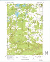
1954 Map of Wrenshall
USGS Topo · Published 1976About this map
Wrenshall stands as a rail-centered community in Carlton County, situated at the intersection of the Burlington Northern and Soo Line tracks. The 1954 data, updated with 1975 revisions, captures a landscape defined by its glacial past, evidenced by the numerous Gravel Pits and kettle lakes like Chub Lake, Lac La Belle, and Venoah Lake. Small rural clusters such as Scotts Corner and Blackhoof serve the surrounding agricultural and timber lands, while the northeast corner reaches into the boundaries of Jay Cooke State Park.
Find a feature on this map
31 named features on this map. Tap any name to fly to it.
Don’t see what you’re looking for? This feature index may not catch every label — zoom into the map to look around manually.
Map Details
Editions of this 1954 Wrenshall Map
4 editions found
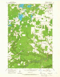
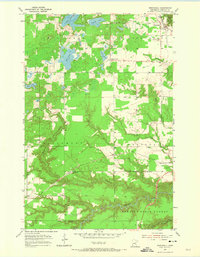
Other maps of this area

1949 · Holyoke
USGS Topo · 1:48,000

1953 · Duluth
USGS Topo · 1:250,000

1954 · Cloquet
USGS Topo · 1:24,000

1954 · Foxboro
USGS Topo · 1:24,000

1954 · Wrenshall
USGS Topo · 1:24,000

1954 · Frogner
USGS Topo · 1:24,000

1954 · Atkinson
USGS Topo · 1:24,000

1954 · Esko
USGS Topo · 1:24,000

1954 · Iverson
USGS Topo · 1:24,000

1956 · Barnum
USGS Topo · 1:62,500