
1954 Map of Wrenshall
USGS Topo · Published 1955About this map
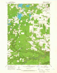
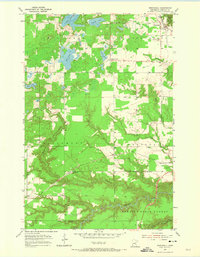
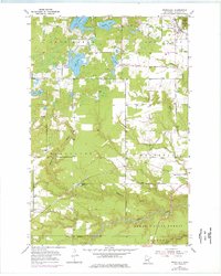
The village of Wrenshall sits at the junction of two major rail lines in Carlton County, defined by the industrial and transport infrastructure of the mid-1950s. The northern portion of the survey is dotted with Gravel Pits and the Oil Tanks that supported local industry, while the rail corridors of the Northern Pacific and Minneapolis St Paul and Sault Ste Marie converge near the town center. Local heritage is grounded in landmarks like the Town Hall and Maccabee Cem to the east.
Find a feature on this map
29 named features on this map. Tap any name to fly to it.
Don’t see what you’re looking for? This feature index may not catch every label — zoom into the map to look around manually.
Map Details
Editions of this 1954 Wrenshall Map
4 editions found
Other maps of this area

1949 · Holyoke
USGS Topo · 1:48,000

1953 · Duluth
USGS Topo · 1:250,000

1954 · Cloquet
USGS Topo · 1:24,000

1954 · Foxboro
USGS Topo · 1:24,000

1954 · Frogner
USGS Topo · 1:24,000

1954 · Atkinson
USGS Topo · 1:24,000

1954 · Esko
USGS Topo · 1:24,000

1954 · Iverson
USGS Topo · 1:24,000

1956 · Barnum
USGS Topo · 1:62,500

1958 · Duluth
USGS Topo · 1:250,000