
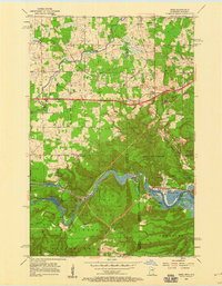
1954 Map of Esko
USGS Topo · Published 1955About this map
The St Louis River carves a deep, winding path through this mid-century landscape, defining the border between Minnesota and Wisconsin as it flows toward Duluth. Along its northern banks, the expansive Jay Cooke State Park preserves the natural elevation changes near Oldenburg Point and Forbay Lake. The settlement patterns here reflect a mix of agricultural and industrial development, with the town of Esko serving as a central hub north of the river. Cultural landmarks like the Finnish Ch and Washington Sch point to the community's heritage during this era of growth.
Find a feature on this map
44 named features on this map. Tap any name to fly to it.
Don’t see what you’re looking for? This feature index may not catch every label — zoom into the map to look around manually.
Map Details
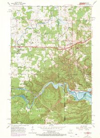
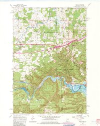
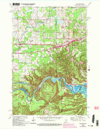
Editions of this 1954 Esko Map
5 editions found
Other maps of this area

1895 · Duluth
USGS Topo · 1:62,500

1915 · Superior
USGS Topo · 1:48,000

1917 · Superior
USGS Topo · 1:62,500

1953 · Saginaw
USGS Topo · 1:24,000

1953 · Adolph
USGS Topo · 1:24,000

1953 · Duluth Heights
USGS Topo · 1:24,000

1953 · Duluth
USGS Topo · 1:62,500

1953 · Duluth
USGS Topo · 1:250,000

1954 · West Duluth
USGS Topo · 1:24,000

1954 · Cloquet
USGS Topo · 1:24,000