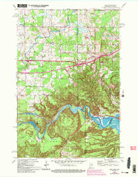
1954 Map of Esko
USGS Topo · Published 1993About this map
The St Louis River carves a deep valley through this landscape, serving as a natural corridor for the Minnesota Wisconsin border. The settlement of Esko serves as a focal point near the western edge, surrounded by rural infrastructure such as the Washington Sch and Finnish Ch. To the east, the terrain drops significantly toward Fond du Lac, where the river broadens around Nekuk Island and Ondig Island. Large tracts of protected land, including Jay Cooke State Park and the Hemlock Ravine State Natural Area, preserve the dramatic river bends and steep bluffs. The map reflects a mid-century period of transition, showing the intersection of local township life in Thomson and Midway with the industrial presence of scattered Gravel Pits and the Sanitorium.
Find a feature on this map
43 named features on this map. Tap any name to fly to it.
Don’t see what you’re looking for? This feature index may not catch every label — zoom into the map to look around manually.
Map Details
Editions of this 1954 Esko Map
5 editions found

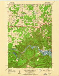
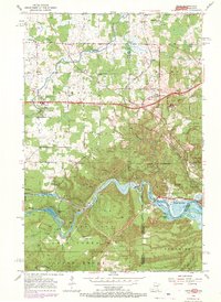
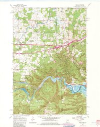
Other maps of this area

1895 · Duluth
USGS Topo · 1:62,500

1915 · Superior
USGS Topo · 1:48,000

1917 · Superior
USGS Topo · 1:62,500

1953 · Saginaw
USGS Topo · 1:24,000

1953 · Adolph
USGS Topo · 1:24,000

1953 · Duluth Heights
USGS Topo · 1:24,000

1953 · Duluth
USGS Topo · 1:62,500

1953 · Duluth
USGS Topo · 1:250,000

1954 · West Duluth
USGS Topo · 1:24,000

1954 · Cloquet
USGS Topo · 1:24,000