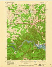
1954 Map of Esko
USGS Topo · Published 1960About this map
Jay Cooke State Park and the rugged winding course of the St Louis River anchor this mid-century look at the borderlands of Carlton and St. Louis counties. The landscape is defined by its deep industrial and cultural roots, showing the transition from the forested heights of Elys Peak to the river-level settlement of Fond du Lac. In the northern half of the map, the community of Esko serves as a hub, surrounded by institutional and civic landmarks such as the Washington Sch, Finnish Ch, and the local Town Hall.
Find a feature on this map
49 named features on this map. Tap any name to fly to it.
Don’t see what you’re looking for? This feature index may not catch every label — zoom into the map to look around manually.
Map Details
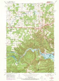
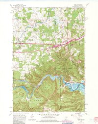
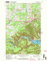
Editions of this 1954 Esko Map
5 editions found

Other maps of this area

1895 · Duluth
USGS Topo · 1:62,500

1915 · Superior
USGS Topo · 1:48,000

1917 · Superior
USGS Topo · 1:62,500

1953 · Saginaw
USGS Topo · 1:24,000

1953 · Adolph
USGS Topo · 1:24,000

1953 · Duluth Heights
USGS Topo · 1:24,000

1953 · Duluth
USGS Topo · 1:62,500

1953 · Duluth
USGS Topo · 1:250,000

1954 · West Duluth
USGS Topo · 1:24,000

1954 · Cloquet
USGS Topo · 1:24,000