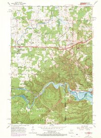
1954 Map of Esko
USGS Topo · Published 1970About this map
The St Louis River carves a dramatic path through this 1954 survey, defining the rugged transition between the Thomson and Midway townships. This industrial and recreational landscape is anchored by Jay Cooke State Park, where the river's descent creates the reservoir for Forbay Lake. The map reveals a dense network of early 20th-century transportation, including the Duluth Winnipeg and Pacific and the Northern Pacific railroads that converge near the historic settlement of Fond du Lac. Local community life is centered on the township clusters at Esko and Eldes Corner, supported by institutions like the Finnish Ch, Augustana Ch, and Washington Sch. Industrial activity is evident in the numerous Gravel Pits and the Quarry near Elys Peak, while the northern reaches show the steady growth of rural Duluth and the specialized facilities of the Sanitorium.
Find a feature on this map
53 named features on this map. Tap any name to fly to it.
Don’t see what you’re looking for? This feature index may not catch every label — zoom into the map to look around manually.
Map Details
Editions of this 1954 Esko Map
5 editions found

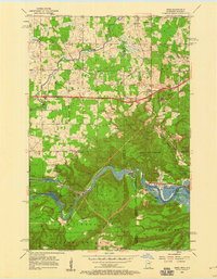
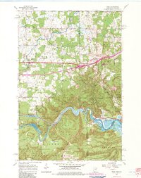
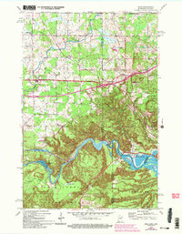
Other maps of this area

1895 · Duluth
USGS Topo · 1:62,500

1915 · Superior
USGS Topo · 1:48,000

1917 · Superior
USGS Topo · 1:62,500

1953 · Saginaw
USGS Topo · 1:24,000

1953 · Adolph
USGS Topo · 1:24,000

1953 · Duluth Heights
USGS Topo · 1:24,000

1953 · Duluth
USGS Topo · 1:62,500

1953 · Duluth
USGS Topo · 1:250,000

1954 · West Duluth
USGS Topo · 1:24,000

1954 · Cloquet
USGS Topo · 1:24,000