
1954 Map of Cloquet
USGS Topo · Published 1955About this map
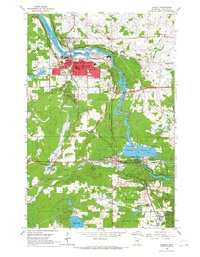
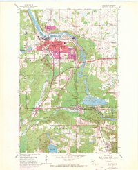
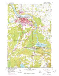
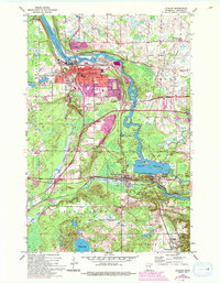
Cloquet serves as a major industrial and transit hub along the St Louis River in the mid-1950s, defined by its complex network of rail lines including the Northern Pacific, Great Northern, and Duluth and Northeastern. The city center is dense with civic infrastructure, notably the High Sch, Jefferson Sch, and specialized facilities like Fond du Lac Hospital and Eppard Hospital.
Find a feature on this map
44 named features on this map. Tap any name to fly to it.
Don’t see what you’re looking for? This feature index may not catch every label — zoom into the map to look around manually.
Map Details
Editions of this 1954 Cloquet Map
5 editions found
Other maps of this area

1953 · Saginaw
USGS Topo · 1:24,000

1953 · Adolph
USGS Topo · 1:24,000

1953 · Brookston
USGS Topo · 1:24,000

1953 · Duluth
USGS Topo · 1:250,000

1954 · Wrenshall
USGS Topo · 1:24,000

1954 · Frogner
USGS Topo · 1:24,000

1954 · Atkinson
USGS Topo · 1:24,000

1954 · Esko
USGS Topo · 1:24,000

1954 · Iverson
USGS Topo · 1:24,000

1956 · Barnum
USGS Topo · 1:62,500