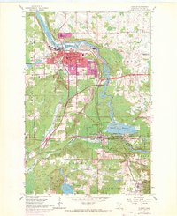
1954 Map of Cloquet
USGS Topo · Published 1971About this map
The St Louis River winds through the industrial heart of this Carlton County landscape, separating Cloquet from the Fond du Lac Indian Reservation. By the late 1960s, urban expansion is evident in purple revisions across Scanlon and the southern reaches of the main settlement. The map documents a critical regional transport and utility hub, featuring the Duluth and Northeastern railroad line and the Thomson Reservoir system. Local life is anchored by institutions like the Holy Family Ch, Jefferson Sch, and several civic spaces such as Pinehurst Park. To the south, the landscape shifts toward the smaller settlements of Wrenshall and Alford, where an Oil Refinery marks the industrial edge near Silver Brook. Genealogy researchers can find several burial grounds, including Maple Grove Cem and Hillside Cem, positioned near the historical town centers.
Find a feature on this map
50 named features on this map. Tap any name to fly to it.
Don’t see what you’re looking for? This feature index may not catch every label — zoom into the map to look around manually.
Map Details
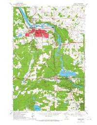
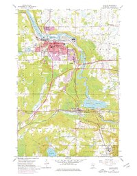
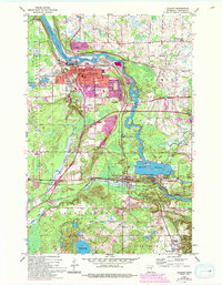
Editions of this 1954 Cloquet Map
5 editions found
Other maps of this area

1953 · Saginaw
USGS Topo · 1:24,000

1953 · Adolph
USGS Topo · 1:24,000

1953 · Brookston
USGS Topo · 1:24,000

1953 · Duluth
USGS Topo · 1:250,000

1954 · Cloquet
USGS Topo · 1:24,000

1954 · Wrenshall
USGS Topo · 1:24,000

1954 · Frogner
USGS Topo · 1:24,000

1954 · Atkinson
USGS Topo · 1:24,000

1954 · Esko
USGS Topo · 1:24,000

1954 · Iverson
USGS Topo · 1:24,000