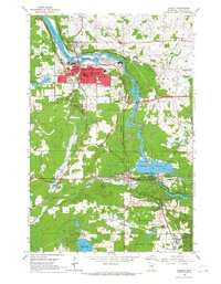
1954 Map of Cloquet
USGS Topo · Published 1967About this map
Industrial and transport corridors define this mid-century survey of the Carlton County region, where the St Louis River powers local development. The city of Cloquet stands as a primary hub, organized around a grid of streets like Prospect Ave and supported by essential institutions including the High Sch and Fond du Lac Hospital. This era shows a landscape heavily influenced by heavy transit and industry, with the Duluth and Northeastern and Northern Pacific railroads intersecting near the river. Downstream, the Thomson Reservoir and the Gaging Station indicate the river's managed utility. Beyond the urban centers of Scanlon and Thomson, the map details the boundaries of the Fond du Lac Indian Reservation and smaller settlements like Wrenshall, where an Oil Refinery marks the southern industrial edge. Genealogists will find several burial grounds, including Pinehurst Cem and Hillside Cem, alongside neighborhood landmarks like St Mathews Ch.
Find a feature on this map
46 named features on this map. Tap any name to fly to it.
Don’t see what you’re looking for? This feature index may not catch every label — zoom into the map to look around manually.
Map Details
Editions of this 1954 Cloquet Map
5 editions found
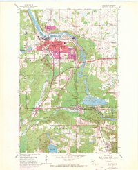
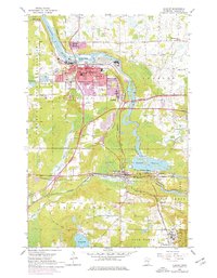
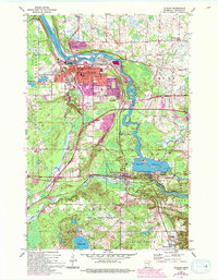
Other maps of this area

1953 · Saginaw
USGS Topo · 1:24,000

1953 · Adolph
USGS Topo · 1:24,000

1953 · Brookston
USGS Topo · 1:24,000

1953 · Duluth
USGS Topo · 1:250,000

1954 · Cloquet
USGS Topo · 1:24,000

1954 · Wrenshall
USGS Topo · 1:24,000

1954 · Frogner
USGS Topo · 1:24,000

1954 · Atkinson
USGS Topo · 1:24,000

1954 · Esko
USGS Topo · 1:24,000

1954 · Iverson
USGS Topo · 1:24,000