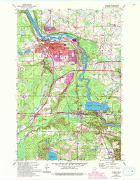
1954 Map of Cloquet
USGS Topo · Published 1993About this map
The St Louis River carves a dominant path through this mid-century landscape, anchoring the industrial and civic life of Cloquet and its neighbors. The map reveals a high concentration of institutional infrastructure, from the High Sch and Jefferson Sch to medical facilities like Eppard Hospital. Just west of the river, the Fond du Lac Indian Reservation encompasses several landmarks, including Holy Family Ch and the Fond du Lac Hospital, illustrating the specific jurisdictional and community boundaries of the era. To the south, the industrial character shifts toward energy and transport, evidenced by the Thomson Reservoir, a Gaging Station, and an Oil Refinery near Wrenshall. The intricate network of the Northern Pacific railroad and local roads like Midway Road link the settlements of Scanlon, Carlton, and Thomson into a tight-knit corridor of northern Minnesota commerce.
Find a feature on this map
40 named features on this map. Tap any name to fly to it.
Don’t see what you’re looking for? This feature index may not catch every label — zoom into the map to look around manually.
Map Details
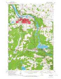
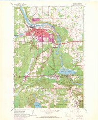
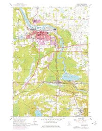
Editions of this 1954 Cloquet Map
5 editions found
Other maps of this area

1953 · Saginaw
USGS Topo · 1:24,000

1953 · Adolph
USGS Topo · 1:24,000

1953 · Brookston
USGS Topo · 1:24,000

1953 · Duluth
USGS Topo · 1:250,000

1954 · Cloquet
USGS Topo · 1:24,000

1954 · Wrenshall
USGS Topo · 1:24,000

1954 · Frogner
USGS Topo · 1:24,000

1954 · Atkinson
USGS Topo · 1:24,000

1954 · Esko
USGS Topo · 1:24,000

1954 · Iverson
USGS Topo · 1:24,000