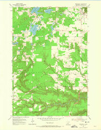
1954 Map of Wrenshall
USGS Topo · Published 1974About this map
Wrenshall sits at a critical rail junction in Carlton County, where the Burlington Northern and C M ST P & P lines converge near several industrial Gravel Pits and Oil Tanks. The landscape is defined by the sharp transition from the level glacial lake plains to the deeply incised valleys of the Blackhoof River and the Nemadji River in the south. These waterways carve through the Nemadji State Forest, revealing a complex drainage system that includes Rock Creek and Clear Creek.
Find a feature on this map
29 named features on this map. Tap any name to fly to it.
Don’t see what you’re looking for? This feature index may not catch every label — zoom into the map to look around manually.
Map Details
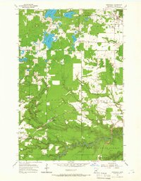
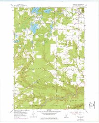
Editions of this 1954 Wrenshall Map
4 editions found
Other maps of this area

1949 · Holyoke
USGS Topo · 1:48,000

1953 · Duluth
USGS Topo · 1:250,000

1954 · Cloquet
USGS Topo · 1:24,000

1954 · Foxboro
USGS Topo · 1:24,000

1954 · Wrenshall
USGS Topo · 1:24,000

1954 · Frogner
USGS Topo · 1:24,000

1954 · Atkinson
USGS Topo · 1:24,000

1954 · Esko
USGS Topo · 1:24,000

1954 · Iverson
USGS Topo · 1:24,000

1956 · Barnum
USGS Topo · 1:62,500