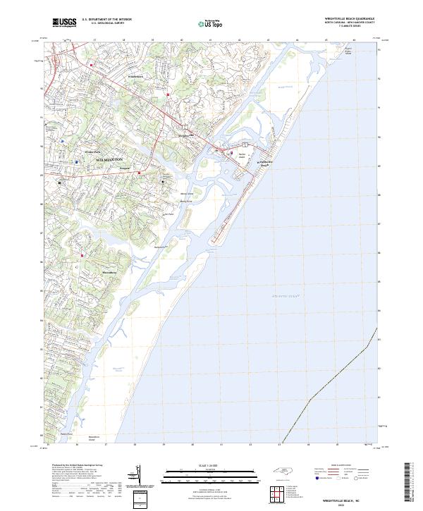
2022 Map of Wrightsville Beach
USGS Topo · Published 2022About this map
Wrightsville Beach and the surrounding coastal reaches of New Hanover County are defined by a complex network of barrier islands and tidal channels. This modern survey illustrates the dense residential growth of Wilmington as it pushes toward the Atlantic Ocean, centered around the University of North Carolina Wilmington and neighborhoods like Winter Park and Seagate. The map provides a contemporary view of the maritime landscape, detailing the path of the Intracoastal Waterway as it separates the mainland from Harbor Island and the beachfront. Local history and genealogy researchers can locate established burial grounds such as Seagate Cem and Oleander Memorial Gardens, while the inclusion of Figure Eight Island and Masonboro Island highlights the ongoing environmental dynamics of Mason Inlet and Masonboro Inlet. Key transit corridors including Wrightsville Ave and Oleander Dr link the inland settlements of Windemere and Masonboro to the shore.
Find a feature on this map
47 named features on this map. Tap any name to fly to it.
Don’t see what you’re looking for? This feature index may not catch every label — zoom into the map to look around manually.
Map Details
Editions of this 2022 Wrightsville Beach Map
This is the sole edition of this map. No revisions or reprints were ever made.
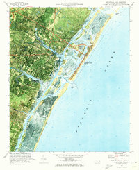
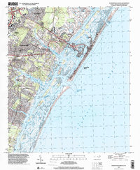
Historical Maps of Airlie Through Time
4 maps found
Featured Locations
- Tanglewood, NC
- Wilmington, NC
- Wrightsville Beach, NC
- Edgewater Estates, Wilmington
- Wrightsville, Wilmington