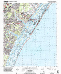
1997 Map of Wrightsville Beach
USGS Topo · Published 2000About this map
Wrightsville Beach and the neighboring residential pockets of Winter Park and Seagate are captured here during a period of late-twentieth-century coastal development. The landscape is defined by the complex network of tidal marshes and sounds, including Masonboro Sound and Middle Sound, which separate the mainland from the barrier islands. The Intracoastal Waterway threads through these waters, facilitating transit past Harbor Island and into the Atlantic Ocean via Masonboro Inlet.
Find a feature on this map
42 named features on this map. Tap any name to fly to it.
Don’t see what you’re looking for? This feature index may not catch every label — zoom into the map to look around manually.
Map Details
Editions of this 1997 Wrightsville Beach Map
This is the sole edition of this map. No revisions or reprints were ever made.
Other maps of this area

1942 · Topsail
USGS Topo · 1:62,500

1942 · Wilmington
USGS Topo · 1:62,500

1947 · Rocky Point
USGS Topo · 1:62,500

1948 · Topsail
USGS Topo · 1:62,500

1948 · Wilmington
USGS Topo · 1:62,500

1953 · Beaufort
USGS Topo · 1:250,000

1954 · Beaufort
USGS Topo · 1:250,000

1970 · Hampstead
USGS Topo · 1:24,000
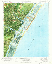
1970 · Wrightsville Beach
USGS Topo · 1:24,000
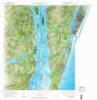
1970 · Carolina Beach
USGS Topo · 1:24,000
Featured Places
- Wilmington, NC
- Wrightsville Beach, NC
- Ogden, NC
- Masonboro, Wilmington
- Bradley Creek East Estates, Wilmington