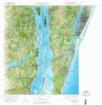
1970 Map of Carolina Beach
USGS Topo · Published 1973About this map
Orton Plantation and the surrounding grounds dominate the western bank of the Cape Fear River, where the landscape is defined by vast water bodies like Orton Pond and Sampson Pond. This 1970 orthophotomosaic offers a unique visual record, blending topographic data with aerial photography to show the precise footprint of the Military Ocean Terminal Sunny Point and its supporting Military Railroad.
Find a feature on this map
47 named features on this map. Tap any name to fly to it.
Don’t see what you’re looking for? This feature index may not catch every label — zoom into the map to look around manually.
Map Details
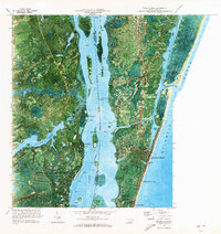
Editions of this 1970 Carolina Beach Map
2 editions found
Other maps of this area

1942 · Wilmington
USGS Topo · 1:62,500

1943 · Funston
USGS Topo · 1:24,000

1943 · Winnabow
USGS Topo · 1:24,000

1944 · Winnabow
USGS Topo · 1:31,680

1946 · Southport
USGS Topo · 1:24,000

1946 · Snow Marsh
USGS Topo · 1:24,000

1948 · Wilmington
USGS Topo · 1:62,500

1949 · Georgetown
USGS Topo · 1:250,000

1950 · Winnabow
USGS Topo · 1:25,000

1953 · Florence
USGS Topo · 1:250,000