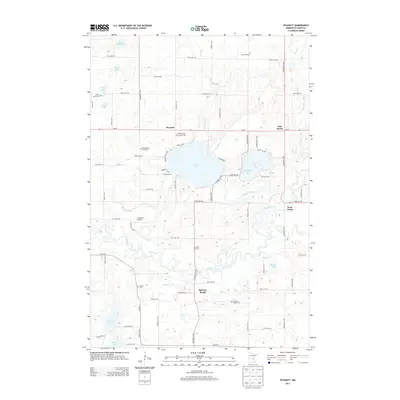
2013 Map of Wyanett
USGS Topo · Published 2013About this map
The Rum River winds through a landscape defined by glacial lakes and small settlements in this 2013 topographic study. Significant for genealogists, the area contains numerous burial sites reflecting the local township history, including the Old Wyanett Free Cem, King Cem, and Clough Cem. These sites are dispersed near the settlements of Wyanett, Pine Brook, and Spencer Brook, where the rural character of Isanti County is preserved. The topography is dominated by substantial water bodies such as Green Lake, Spectacle Lake, and the extensive Spencer Brook waterway system. Aviation history is noted by the presence of Cameron's Airport north of the river. The map also traces the drainage patterns of Green Lake Brook and Wyanett Cr, illustrating how the hydrology of the region shapes the land use around West Point and the surrounding agricultural tracts.
Find a feature on this map
51 named features on this map. Tap any name to fly to it.
Don’t see what you’re looking for? This feature index may not catch every label — zoom into the map to look around manually.
Map Details
Editions of this 2013 Wyanett Map
This is the sole edition of this map. No revisions or reprints were ever made.
Other maps of this area

1916 · St. Francis
USGS Topo · 1:62,500

1919 · St. Francis
USGS Topo · 1:62,500

1953 · Stillwater
USGS Topo · 1:250,000

1955 · Stillwater
USGS Topo · 1:250,000

1958 · Stillwater
USGS Topo · 1:250,000

1961 · Bradford
USGS Topo · 1:24,000

1961 · Lake Fremont
USGS Topo · 1:24,000

1961 · Springvale
USGS Topo · 1:24,000

1961 · Dalbo
USGS Topo · 1:24,000

1961 · Wyanett
USGS Topo · 1:24,000