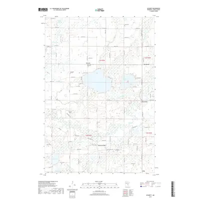
2019 Map of Wyanett
USGS Topo · Published 2019About this map
Green Lake and Spectacle Lake form the centerpiece of this Isanti County landscape, which is defined by a dense network of glacial basins and watercourses. The local road system, including Co Rd 7 and Co Rd 15, connects several small communities and historical points of interest. Genealogists and local historians will find a high concentration of burial sites, such as the Wyanett Free Church Cem, Old Wyanett Free Cem, and King Cem, reflecting the early settlement patterns of Wyanett and Spencer Brook.
Find a feature on this map
65 named features on this map. Tap any name to fly to it.
Don’t see what you’re looking for? This feature index may not catch every label — zoom into the map to look around manually.
Map Details
Editions of this 2019 Wyanett Map
This is the sole edition of this map. No revisions or reprints were ever made.
Other maps of this area

1916 · St. Francis
USGS Topo · 1:62,500

1919 · St. Francis
USGS Topo · 1:62,500

1953 · Stillwater
USGS Topo · 1:250,000

1955 · Stillwater
USGS Topo · 1:250,000

1958 · Stillwater
USGS Topo · 1:250,000

1961 · Bradford
USGS Topo · 1:24,000

1961 · Lake Fremont
USGS Topo · 1:24,000

1961 · Springvale
USGS Topo · 1:24,000

1961 · Dalbo
USGS Topo · 1:24,000

1961 · Wyanett
USGS Topo · 1:24,000