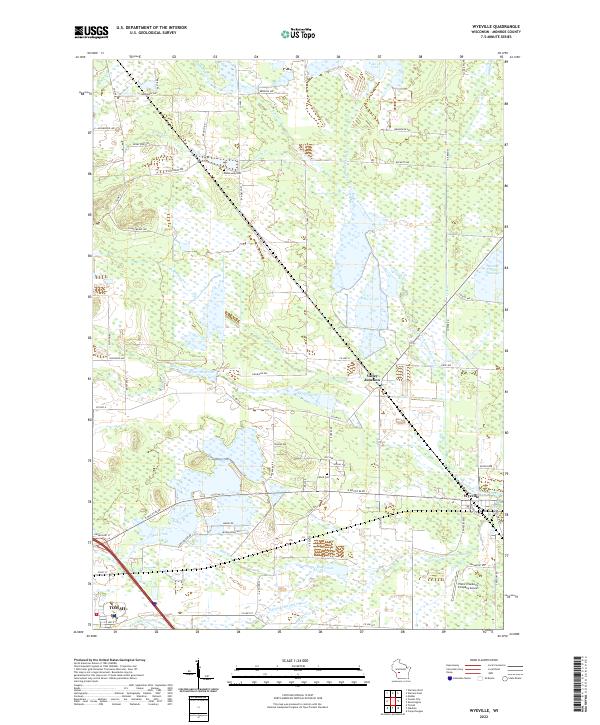
2022 Map of Wyeville
USGS Topo · Published 2022About this map
Valley Junction and Wyeville anchor a landscape defined by the complex hydrology of Monroe County, where the East Fork Lemonweir River and S Fork Lemonweir River converge. This 2022 survey reveals a terrain dominated by wetlands, flowages, and small water bodies like Lake 18 and Lake 32. The human footprint is marked by long-standing local landmarks such as Dannavang Cem and Wood Cem, which offer significant value for genealogists and local historians tracking early settlement patterns.
Find a feature on this map
71 named features on this map. Tap any name to fly to it.
Don’t see what you’re looking for? This feature index may not catch every label — zoom into the map to look around manually.
Map Details
Editions of this 2022 Wyeville Map
This is the sole edition of this map. No revisions or reprints were ever made.
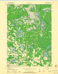
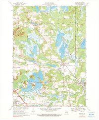
Historical Maps of La Grange Through Time
3 maps found