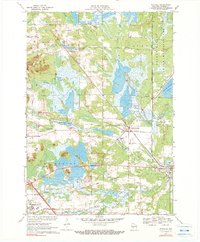
1970 Map of Wyeville
USGS Topo · Published 1990About this map
Cranberry cultivation dominates this central Wisconsin landscape, where numerous Cranberry Bogs are interspersed among the wetlands and tributaries of the East Fork Lemonweir River. The rail-centered village of Wyeville and nearby Valley Junction serve as local hubs, positioned where the Chicago and North Western lines intersect. These settlements emerged alongside a network of water and terrain features including Water Mill Pond and the extensive Meadow Valley to the east.
Find a feature on this map
28 named features on this map. Tap any name to fly to it.
Don’t see what you’re looking for? This feature index may not catch every label — zoom into the map to look around manually.
Map Details
Editions of this 1970 Wyeville Map
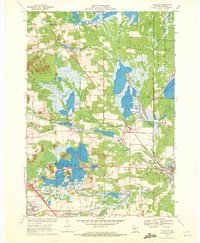
2 editions found
Other maps of this area

1916 · Tomah
USGS Topo · 1:62,500

1919 · Kendall
USGS Topo · 1:62,500

1921 · Kendall
USGS Topo · 1:62,500

1947 · Millston
USGS Topo · 1:62,500

1949 · Millston
USGS Topo · 1:62,500

1949 · Tomah
USGS Topo · 1:62,500

1953 · Eau Claire
USGS Topo · 1:250,000

1958 · Eau Claire
USGS Topo · 1:250,000

1958 · Wyeville
USGS Topo · 1:48,000

1958 · La Crosse
USGS Topo · 1:250,000