Loading...
Loading map...2022 Map of Wylie
USGS Topo · Published 2022About this map
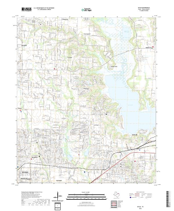
Lavon Lake dominates the eastern landscape of this Collin County region, where modern suburban expansion meets established rural heritage. The area is characterized by a high concentration of ancestral burial grounds, including the McMillen Family Cem, Murphy Family Cem, and Kreymer Cem, providing critical documentation for genealogists tracing the early settlers of North Texas.
Find a feature on this map
75 named features on this map. Tap any name to fly to it.
Don’t see what you’re looking for? This feature index may not catch every label — zoom into the map to look around manually.
Map Details
Date Portrayed2022
Date Published2022
PublisherU.S. Geological Survey
Map TypeTopographic
Scale1:24000
Physical Dimensions24 x 29 inches
Editions of this 2022 Wylie Map
This is the sole edition of this map. No revisions or reprints were ever made.
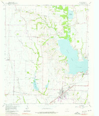
Historical Maps of Plano Through Time
Featured Locations
Source Details
SourceU.S. Geological Survey
CopyrightPublic Domain