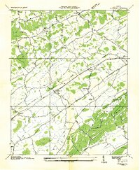
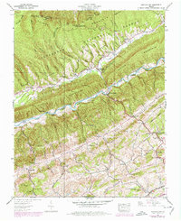
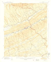
1934 Map of Wyndale
USGS Topo · Published 1934About this map
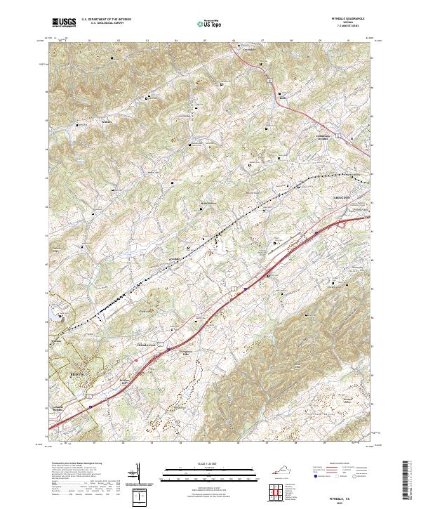
Norfolk and Western rail lines and the prominent Lee Highway corridor define the mid-1930s landscape of this Washington County region. The topography is shaped by a series of parallel valleys, including Elk Valley, Rich Valley, and Preston Valley, separated by the heights of Walker Mountain. This era shows a dense network of rural community centers, particularly through its numerous educational and religious sites such as Needmore School, Rushtown School, and the uniquely named Heavenly Rest Chapel. Settlements like Wyndale and Wallace serve as anchors along the transportation routes, while more remote features like Spoon Gap and Hall Bottom illustrate the traditional land use in the gaps and lowlands. The presence of an electric power transmission line cutting across the mountain ridges reflects the early industrial modernization brought to the Tennessee Valley region during the Great Depression.
Find a feature on this map
50 named features on this map. Tap any name to fly to it.
Don’t see what you’re looking for? This feature index may not catch every label — zoom into the map to look around manually.
Map Details
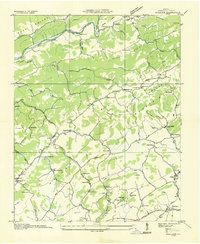
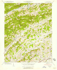
Editions of this 1934 Wyndale Map
This is the sole edition of this map. No revisions or reprints were ever made.
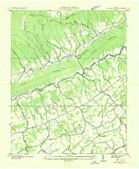
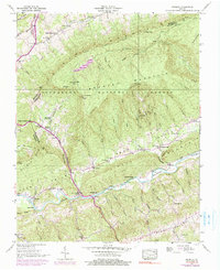
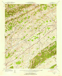
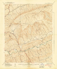
Historical Maps of Abingdon Through Time
19 maps found

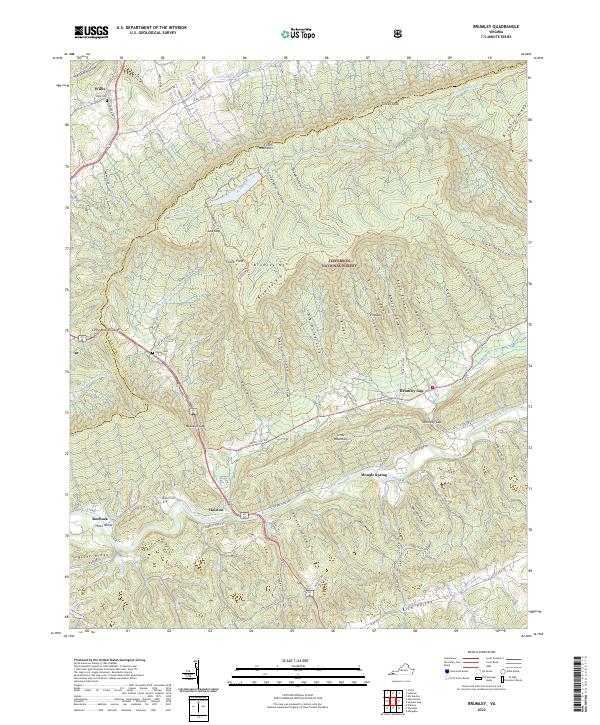
1934 Brumley
Washington County, VA
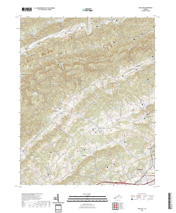
1934 Wallace
Washington County, VA
1934 Wyndale
Washington County, VA
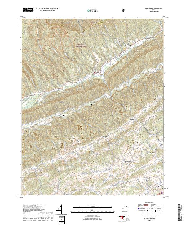
1935 Hayters Gap
Washington County, VA

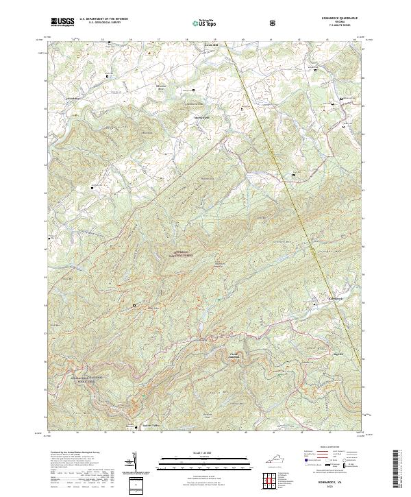
1935 Konnarock
Washington County, VA
1938 Brumley
Washington County, VA
1938 Hayters Gap
Washington County, VA
1938 Wallace
Washington County, VA
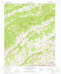
1938 Wyndale
Washington County, VA
1939 Brumley
Washington County, VA
1939 Hayters Gap
Washington County, VA
1959 Konnarock
Washington County, VA
1960 Wallace
Washington County, VA
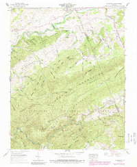
1960 Wyndale
Washington County, VA
2022 Brumley
Washington County, VA
2022 Hayters Gap
Washington County, VA
2022 Konnarock
Washington County, VA
2022 Wallace
Washington County, VA
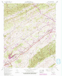
2022 Wyndale
Washington County, VA