Loading...
Loading map...2022 Map of Wynona
USGS Topo · Published 2022About this map
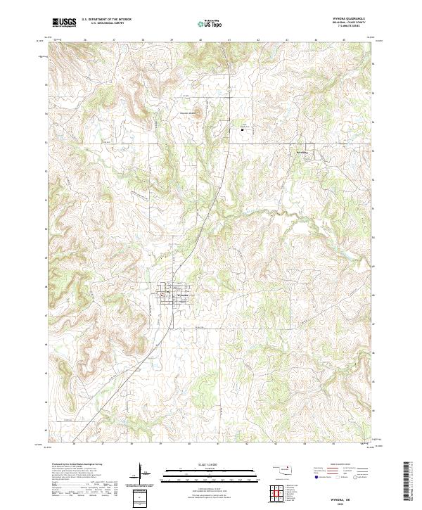
Wynona serves as the central hub of this Osage County landscape, organized around a traditional street grid including 1st St and Antwine Ave. The surrounding terrain is defined by a dense network of drainages that feed into Birch Creek, which winds southeastward across the territory. To the northeast, the settlement of Pershing is situated near the confluence of several smaller watercourses, including Saucy Calf Cr and Cochahce Cr.
Find a feature on this map
58 named features on this map. Tap any name to fly to it.
Don’t see what you’re looking for? This feature index may not catch every label — zoom into the map to look around manually.
Map Details
Date Portrayed2022
Date Published2022
PublisherU.S. Geological Survey
Map TypeTopographic
Scale1:24000
Physical Dimensions24 x 29 inches
Editions of this 2022 Wynona Map
This is the sole edition of this map. No revisions or reprints were ever made.
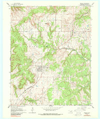
Historical Maps of Osage County Through Time
Featured Locations
Source Details
SourceU.S. Geological Survey
CopyrightPublic Domain