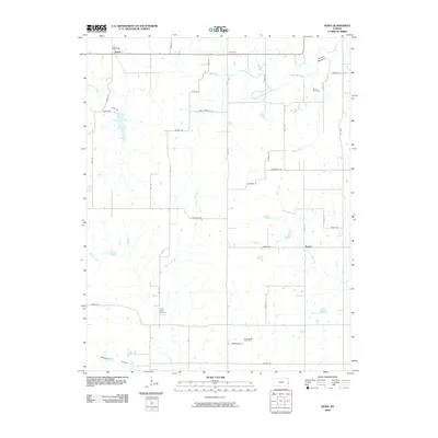
2009 Map of Xenia
USGS Topo · Published 2009About this map
The Little Osage River meanders across the northern reaches of this Bourbon County landscape, defining a rural terrain marked by small settlements and family burial grounds. Near the northern boundary, the community of Xenia sits at the intersection of Wood Rd and 80th St, while further south, the settlement of Berlin anchors the central-east region. This survey captures a moment of modern rural continuity where traditional land divisions and remote homesteads remain connected by a detailed grid of local routes like Soldier Rd and Range Rd.
Find a feature on this map
41 named features on this map. Tap any name to fly to it.
Don’t see what you’re looking for? This feature index may not catch every label — zoom into the map to look around manually.
Map Details
Editions of this 2009 Xenia Map
This is the sole edition of this map. No revisions or reprints were ever made.
Other maps of this area

1884 · Fort Scott
USGS Topo · 1:125,000

1885 · Garnett
USGS Topo · 1:125,000

1886 · Iola
USGS Topo · 1:125,000

1886 · Fort Scott
USGS Topo · 1:125,000

1887 · Mound City
USGS Topo · 1:125,000

1893 · Fort Scott
USGS Topo · 1:125,000

1893 · Iola
USGS Topo · 1:125,000

1893 · Mound City
USGS Topo · 1:125,000

1894 · Garnett
USGS Topo · 1:125,000

1904 · Iola
USGS Topo · 1:125,000