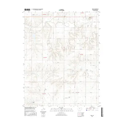
2015 Map of Xenia
USGS Topo · Published 2015About this map
The Little Osage River defines the northern reaches of this Bourbon County landscape, where the settlements of Xenia and Berlin anchor a rural road network of named corridors like Soldier Rd and Range Rd. This topography is marked by several historical burial grounds, including Northway Cem and Morris Cem in the north, while Turkey Creek Cem and Walnut Hill Cem serve the southern sectors. The terrain transitions from the elevations of Guthrie Mtn down toward the drainage basins of Turkey Cr and Mill Cr. Family and local history researchers will find the precise placement of these cemeteries and watercourses, such as Tippie Cr and Reagan Br, vital for tracing land ownership and ancestral movement through this portion of Kansas. In the southwest corner, Opossum Hollow and Limestone Cr provide distinct landmarks for local navigation within the township and range survey system.
Find a feature on this map
35 named features on this map. Tap any name to fly to it.
Don’t see what you’re looking for? This feature index may not catch every label — zoom into the map to look around manually.
Map Details
Editions of this 2015 Xenia Map
This is the sole edition of this map. No revisions or reprints were ever made.
Other maps of this area

1884 · Fort Scott
USGS Topo · 1:125,000

1885 · Garnett
USGS Topo · 1:125,000

1886 · Iola
USGS Topo · 1:125,000

1886 · Fort Scott
USGS Topo · 1:125,000

1887 · Mound City
USGS Topo · 1:125,000

1893 · Fort Scott
USGS Topo · 1:125,000

1893 · Iola
USGS Topo · 1:125,000

1893 · Mound City
USGS Topo · 1:125,000

1894 · Garnett
USGS Topo · 1:125,000

1904 · Iola
USGS Topo · 1:125,000