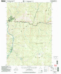
2024 Map of Yellow Pine
USGS Topo · Published 2024About this map
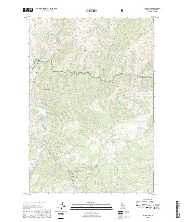
Yellow Pine serves as the primary hub of this high-elevation Idaho landscape, where the confluence of Johnson Creek and the East Fork South Fork Salmon River dictates the local geography. The area is a crossroads of three major protected territories: the Payette National Forest, the Boise National Forest, and the vast Frank Church-River of No Return Wilderness. The map reveals a history of resource extraction and mountain travel, specifically along the Yellowpine-Stibnite road and near the Antimony site.
Find a feature on this map
44 named features on this map. Tap any name to fly to it.
Don’t see what you’re looking for? This feature index may not catch every label — zoom into the map to look around manually.
Map Details
Editions of this 2024 Yellow Pine Map
This is the sole edition of this map. No revisions or reprints were ever made.
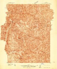
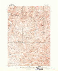
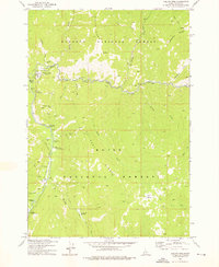
Historical Maps of Yellow Pine Through Time
5 maps found