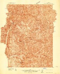
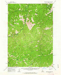
1937 Map of Yellow Pine
USGS Topo · Published 1937About this map
The remote mining and ranching economy of Valley County comes into focus in this late 1930s survey of the Payette National Forest. Mining activity is central to the area, with the Stibnite settlement and the Cinnabar Mine anchoring a landscape of deep canyons and high peaks like Pyramid Pk. The presence of the Antimony Mine and Sunnyside Mine reflects the era's heavy industrial interest in the mineral-rich mountains above the South Fork Salmon River.
Find a feature on this map
73 named features on this map. Tap any name to fly to it.
Don’t see what you’re looking for? This feature index may not catch every label — zoom into the map to look around manually.
Map Details
Editions of this 1937 Yellow Pine Map
This is the sole edition of this map. No revisions or reprints were ever made.
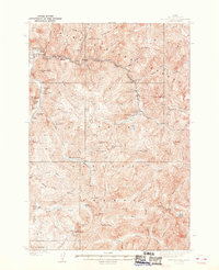
Other maps of this area
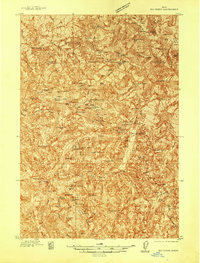
1937 · Big Creek
USGS Topo · 1:48,000

1942 · Big Creek
USGS Topo · 1:62,500
1943 · Yellow Pine
USGS Topo · 1:62,500
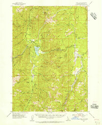
1954 · Warm Lake
USGS Topo · 1:62,500

1956 · Elk City
USGS Topo · 1:250,000

1957 · Challis
USGS Topo · 1:250,000

1960 · Elk City
USGS Topo · 1:250,000

1960 · Challis
USGS Topo · 1:250,000
1961 · Greyhound Ridge
USGS Topo · 1:62,500
1961 · Chinook Mtn
USGS Topo · 1:62,500