
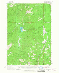
1954 Map of Warm Lake
USGS Topo · Published 1956About this map
Warm Lake serves as the central hub for this high-elevation wilderness within the Boise National Forest during the mid-1950s. The landscape is defined by the headwaters of the South Fork Salmon River and the Deadwood River, illustrating a remote mountain economy centered on forest management and resource extraction. Evidence of early settlement and mining history is visible at the Knox (Site) and the Eureka Silver King Mine, while the administrative footprint of the era is marked by the Warm Lake Guard Sta and the Landmark Ranger Station.
Find a feature on this map
63 named features on this map. Tap any name to fly to it.
Don’t see what you’re looking for? This feature index may not catch every label — zoom into the map to look around manually.
Map Details
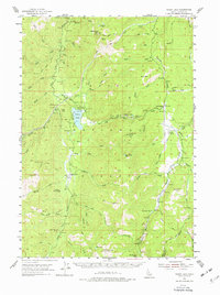
Editions of this 1954 Warm Lake Map
3 editions found
Other maps of this area

1891 · Bear Valley
USGS Topo · 1:125,000

1893 · Bear Valley
USGS Topo · 1:125,000

1909 · Garden Valley
USGS Topo · 1:125,000

1937 · Yellow Pine
USGS Topo · 1:48,000

1943 · Yellow Pine
USGS Topo · 1:62,500

1953 · Boiling Springs
USGS Topo · 1:62,500

1953 · Deadwood Reservoir
USGS Topo · 1:62,500

1954 · Gold Fork
USGS Topo · 1:62,500

1957 · Challis
USGS Topo · 1:250,000

1960 · Challis
USGS Topo · 1:250,000