
1957 Map of Challis
USGS Topo · Published 1964About this map
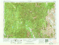
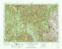
The Salmon River and its multiple forks carve through the heart of central Idaho in this mid-century survey, revealing a landscape defined by high-altitude peaks and a legacy of mineral extraction. The eastern edge of the map highlights the settlement of Challis and the mining corridor near Clayton, where the Ramshorn Mine and General Custer Mine indicate the region's historic silver and gold operations. To the west, the massive wilderness reaches of the Boise National Forest and Challis National Forest dominate, dotted with remote outposts like the Loon Creek Ranger Sta and several private ranch holdings such as the Mayfield Ranch. This era shows the developed recreation and transit corridors along State Highway 75, providing access to the glacial waters of Redfish Lake and the Sawtooth Range, while the interior remains a vast network of lookouts and trails.
Find a feature on this map
139 named features on this map. Tap any name to fly to it.
Don’t see what you’re looking for? This feature index may not catch every label — zoom into the map to look around manually.
Map Details
Editions of this 1957 Challis Map
3 editions found
Other maps of this area

1891 · Bear Valley
USGS Topo · 1:125,000

1892 · Boise
USGS Topo · 1:125,000

1893 · Bear Valley
USGS Topo · 1:125,000

1894 · Squaw Creek
USGS Topo · 1:125,000

1894 · Idaho Basin
USGS Topo · 1:125,000

1894 · Rocky Bar
USGS Topo · 1:125,000

1895 · Hailey
USGS Topo · 1:125,000

1897 · Boise
USGS Topo · 1:125,000

1897 · Hailey
USGS Topo · 1:125,000

1900 · Sawtooth
USGS Topo · 1:125,000