
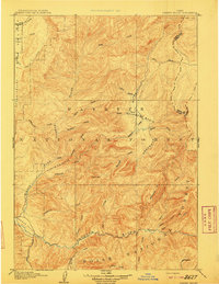
1891 Map of Bear Valley
USGS Topo · Published 1963About this map
Bear Valley and the high peaks of the Sawtooth Range dominate this reconnaissance survey, conducted by A.H. Thompson and W.T. Griswold. At the end of the nineteenth century, this interior wilderness was defined by the intersection of four national forests and the headwaters of Idaho's major river systems. The map traces the winding course of the Middle Fork Salmon River and the Payette River, alongside prominent water bodies like Stanley Lake. Named landmarks such as Cape Horn and Tyee Mtn provide essential reference points for early travelers and surveyors navigating the complex topography between Custer, Boise, and Elmore counties. The drainage patterns of Marsh Creek, Valley Creek, and Warm Spring Creek illustrate a landscape still largely primitive and roadless, serving as a baseline record of the region before modern development.
Find a feature on this map
23 named features on this map. Tap any name to fly to it.
Don’t see what you’re looking for? This feature index may not catch every label — zoom into the map to look around manually.
Map Details
Editions of this 1891 Bear Valley Map
This is the sole edition of this map. No revisions or reprints were ever made.
Other maps of this area

1893 · Bear Valley
USGS Topo · 1:125,000

1894 · Idaho Basin
USGS Topo · 1:125,000

1894 · Rocky Bar
USGS Topo · 1:125,000

1900 · Sawtooth
USGS Topo · 1:125,000
1909 · Garden Valley
USGS Topo · 1:125,000

1919 · Custer
USGS Topo · 1:125,000

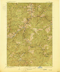
1922 · Custer
USGS Topo · 1:125,000
1930 · Casto
USGS Topo · 1:125,000
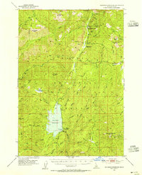
1953 · Deadwood Reservoir
USGS Topo · 1:62,500
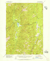
1954 · Warm Lake
USGS Topo · 1:62,500