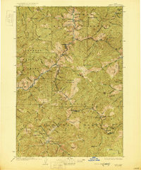
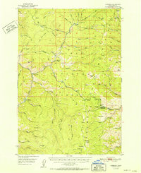
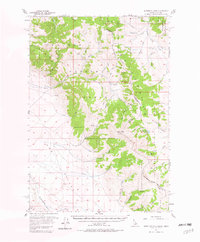
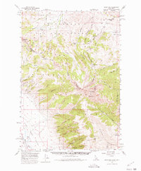
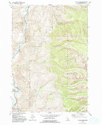
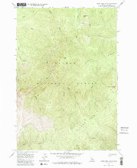
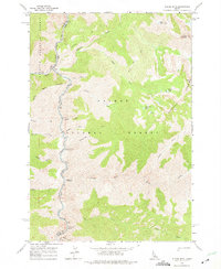
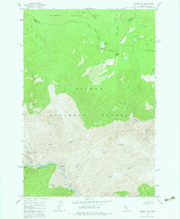
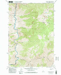
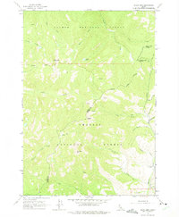
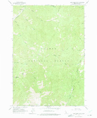
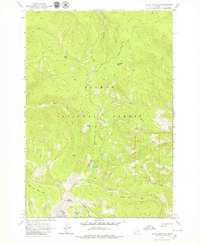
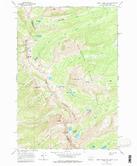
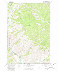
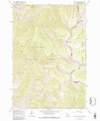
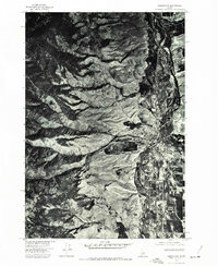
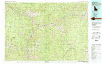
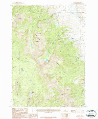
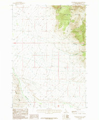
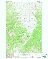
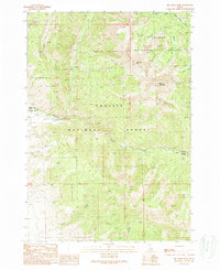
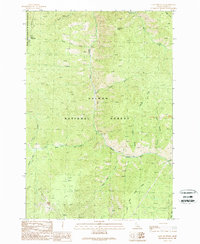
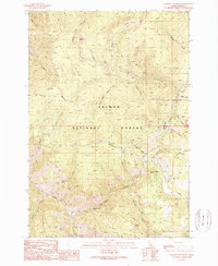
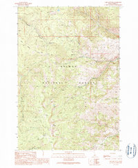
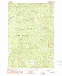
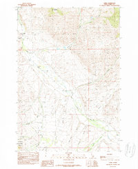
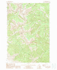
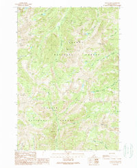
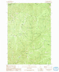
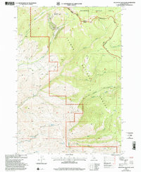
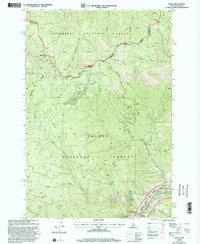
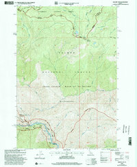
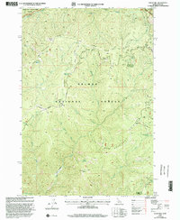
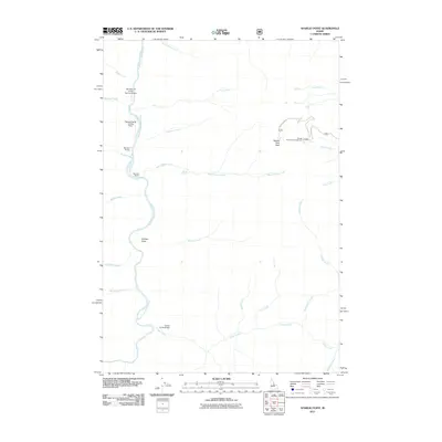
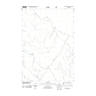
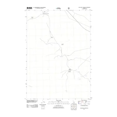
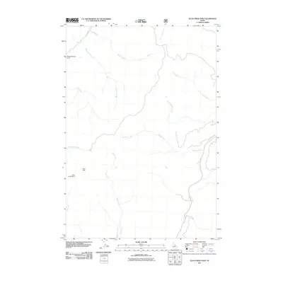
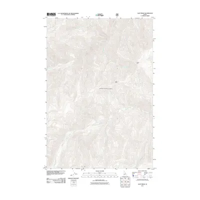
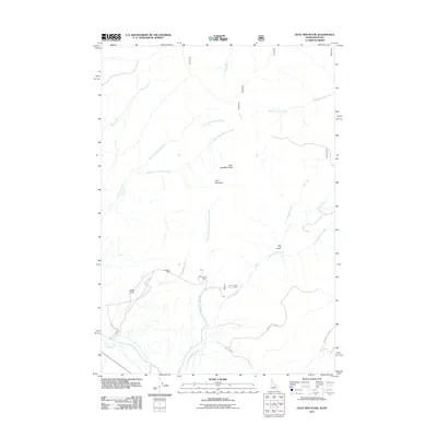
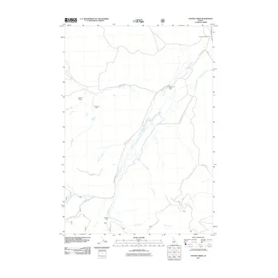
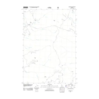
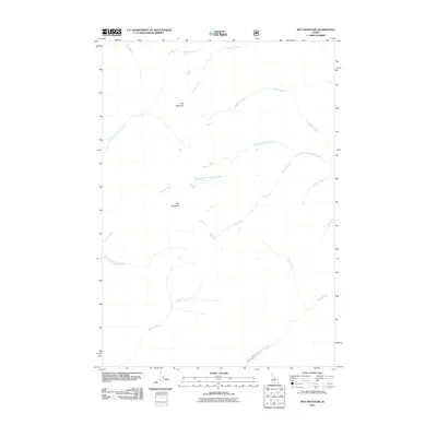
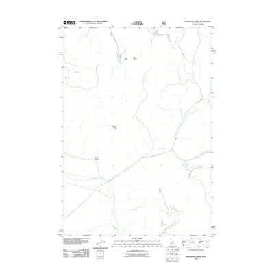
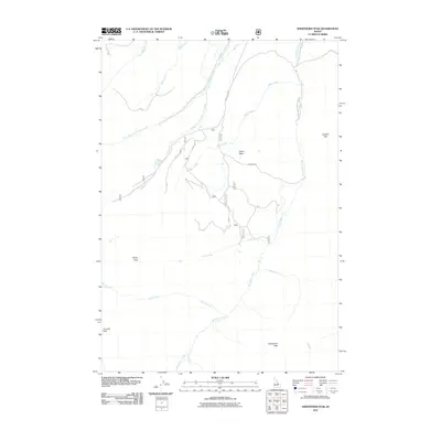
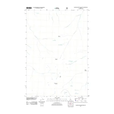
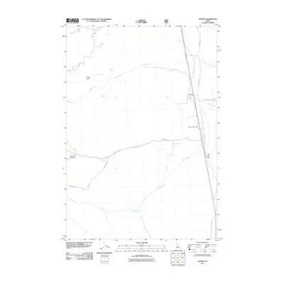
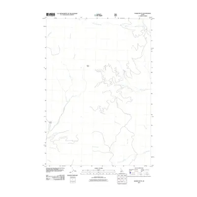
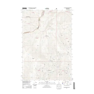
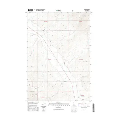
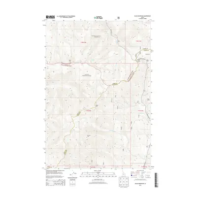
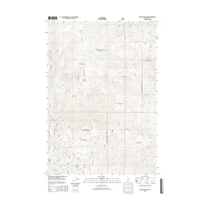
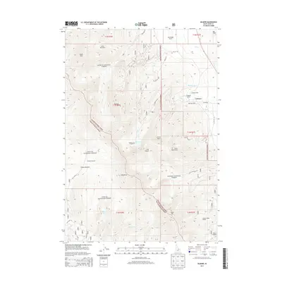
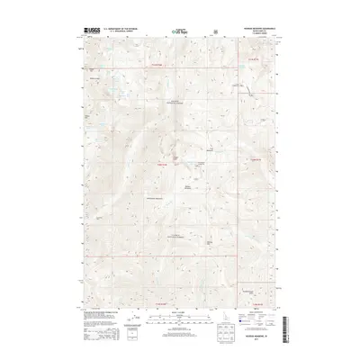
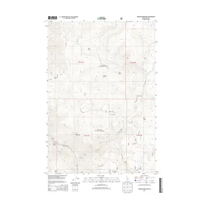
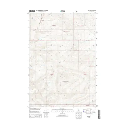
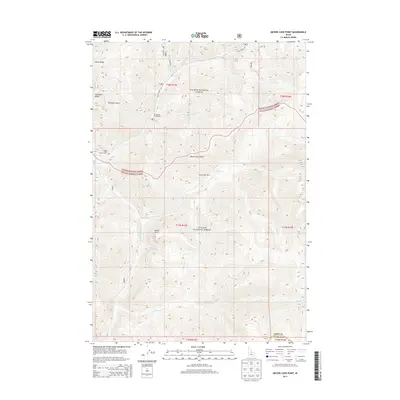
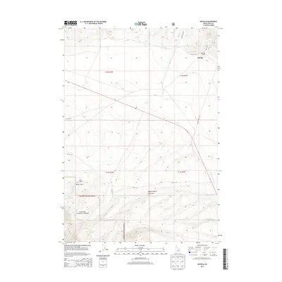
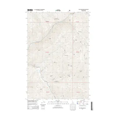
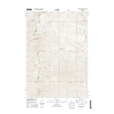
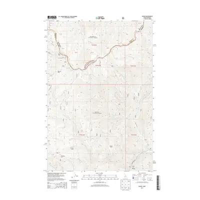
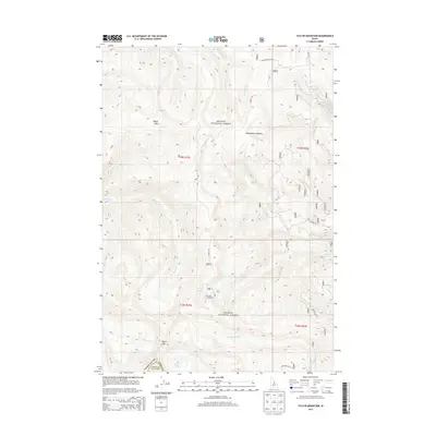
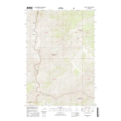
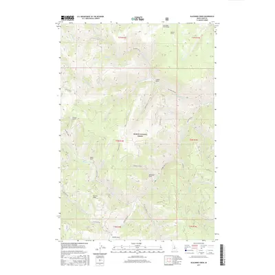
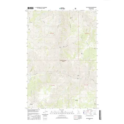
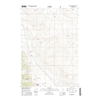
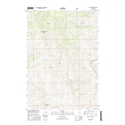
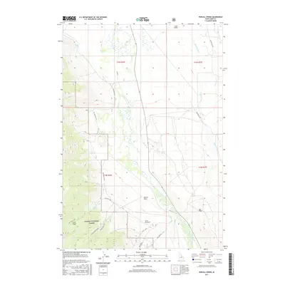
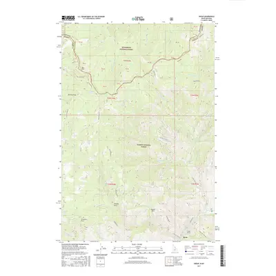
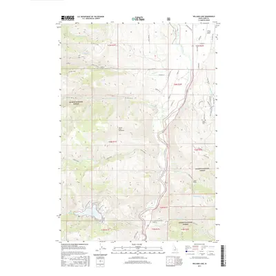
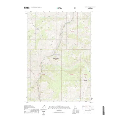
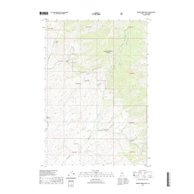
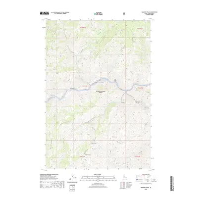
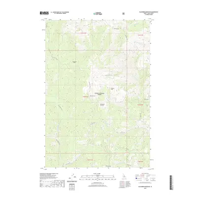
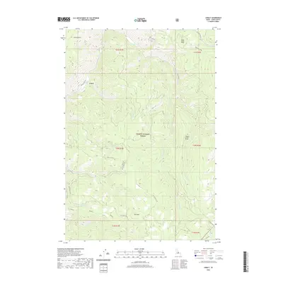
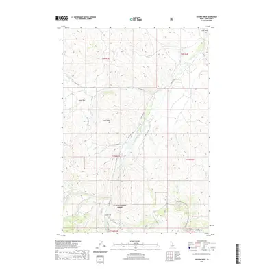
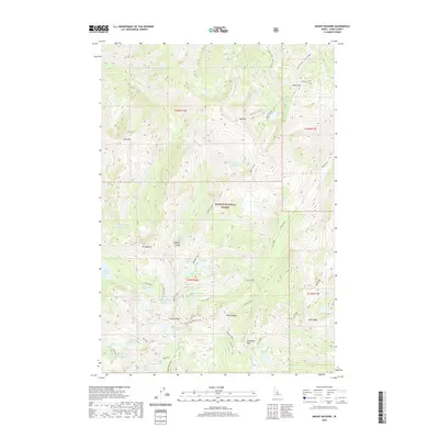
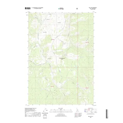
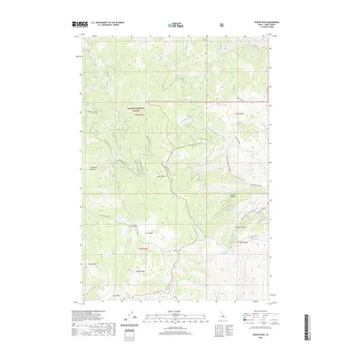
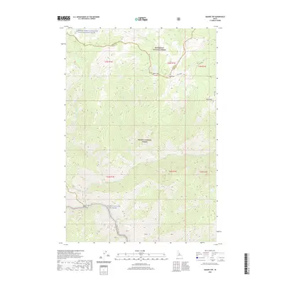
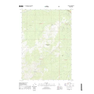
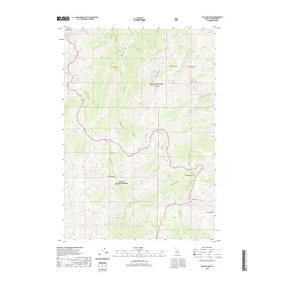
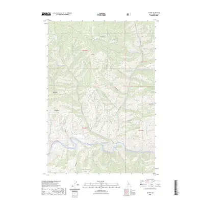
1930 Map of Casto
USGS Topo · Published 1930About this map
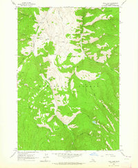
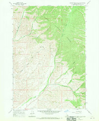
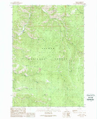
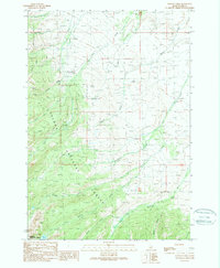
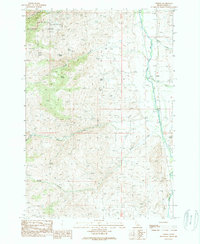
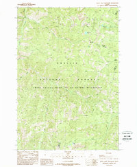
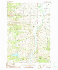
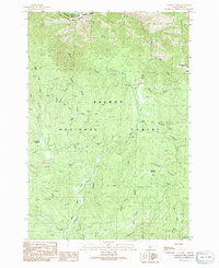
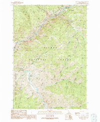
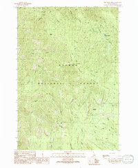
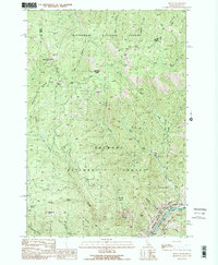
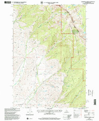
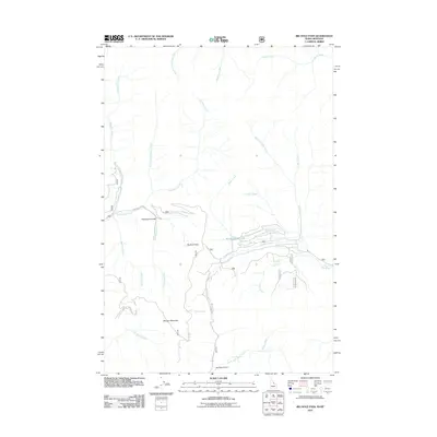
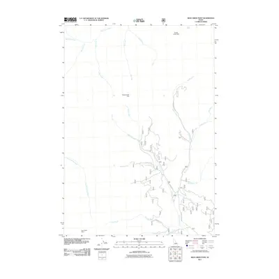
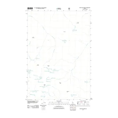
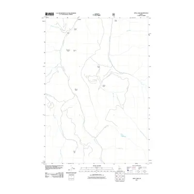
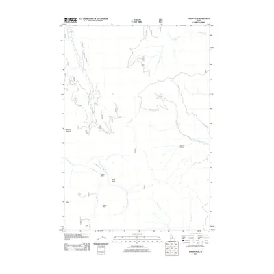
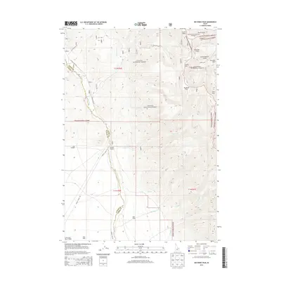
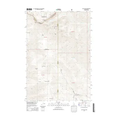
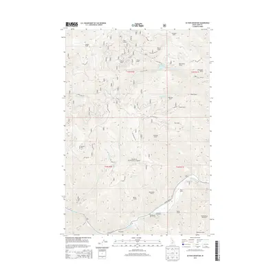
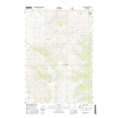
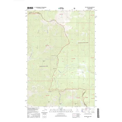
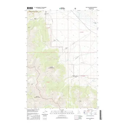
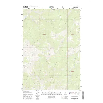
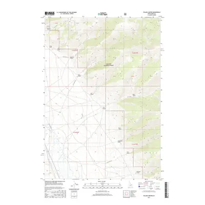
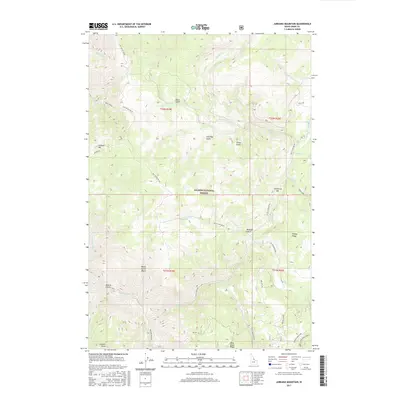
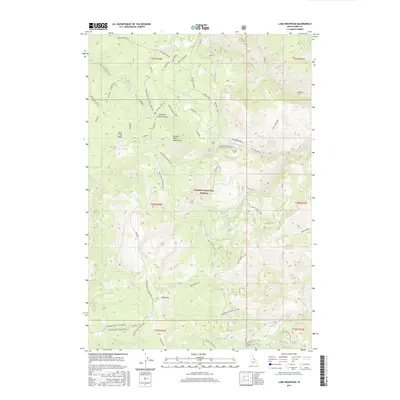
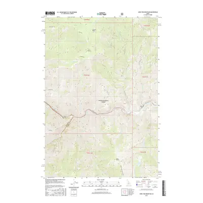
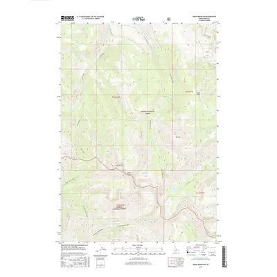
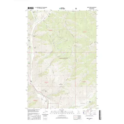
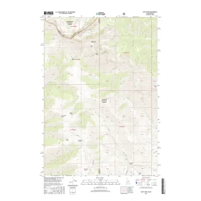
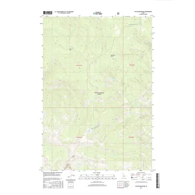
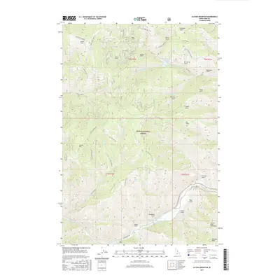
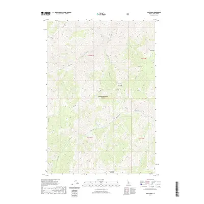
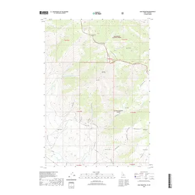
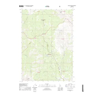
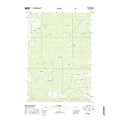
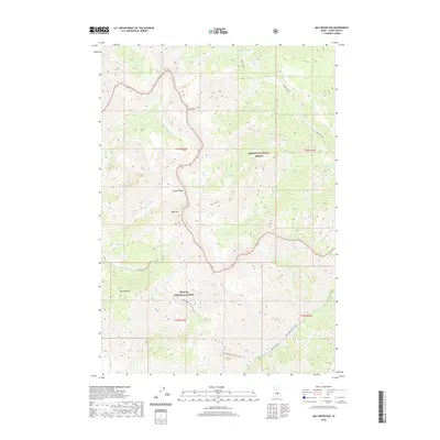
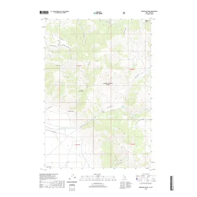
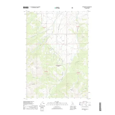
Mining operations and remote homesteads define this high-altitude landscape of central Idaho during the mid-1920s survey period. High peaks such as Middle Fork Peak and Sleeping Deer Mtn tower over a complex network of drainages including Pistol Creek and the Salmon River. The map meticulously records the industrial footprint of the era, from the Yellowjacket Mine in the northeast to the Lost Packer Mine and Parker Mill further south. These sites, often located at extreme elevations near Pinyon Peak, were the lifeblood of the local economy before the large-scale consolidation of national forests.
Find a feature on this map
101 named features on this map. Tap any name to fly to it.
Don’t see what you’re looking for? This feature index may not catch every label — zoom into the map to look around manually.
Map Details
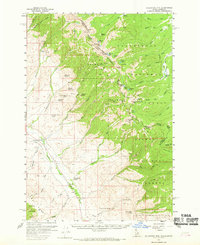
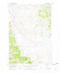
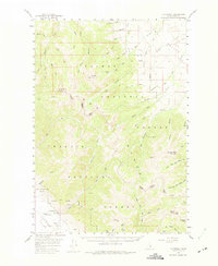
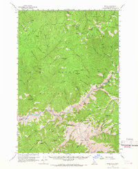
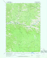
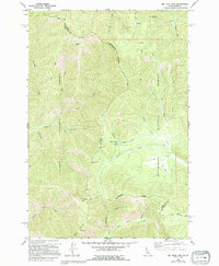
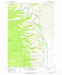
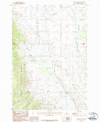
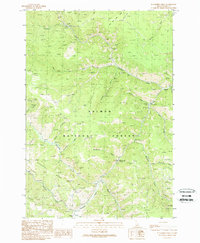
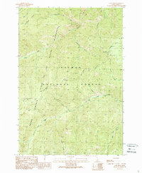
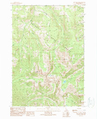
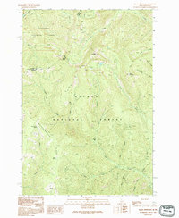
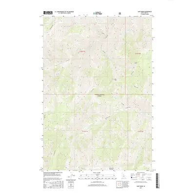
Editions of this 1930 Casto Map
2 editions found
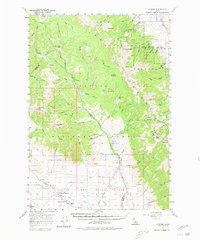
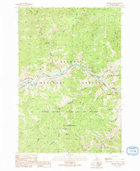
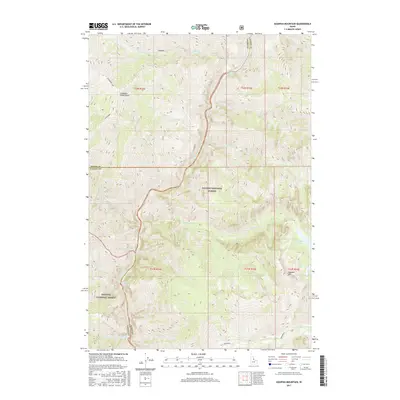
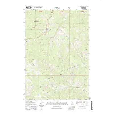
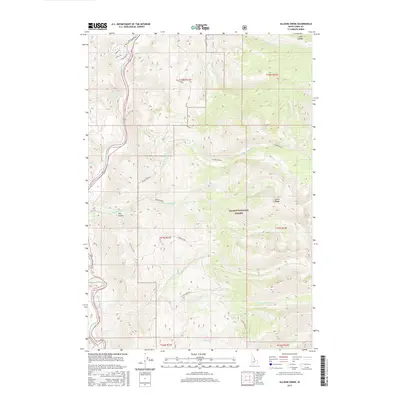
Historical Maps of Custer County Through Time
534 maps found

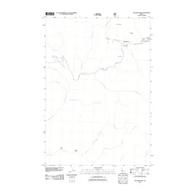
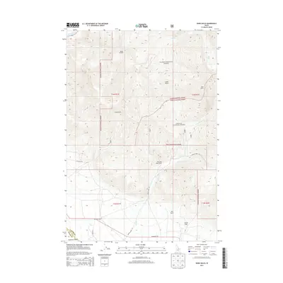
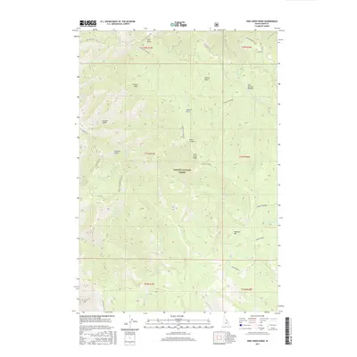
1930 Casto
Lemhi County, ID
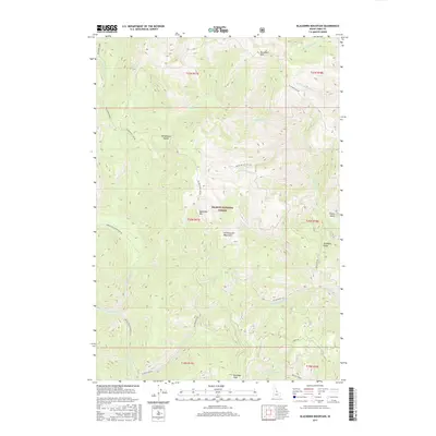
1950 Blackbird Mtn
Lemhi County, ID
1950 Leesburg
Lemhi County, ID
1951 Blackbird Mtn
Lemhi County, ID
1951 Leesburg
Lemhi County, ID
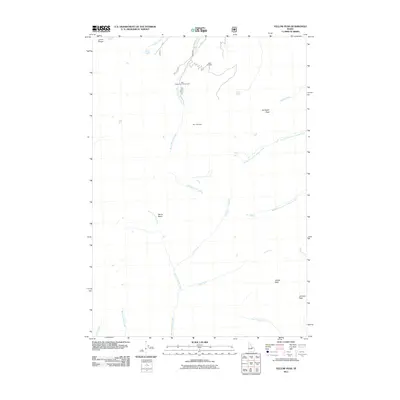
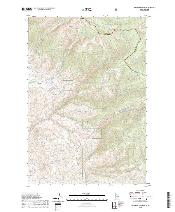
1956 Goldstone Mtn
Lemhi County, ID
1956 Lemhi
Lemhi County, ID
1956 May
Lemhi County, ID
1956 Morrison Lake
Lemhi County, ID
1956 Nicholia
Lemhi County, ID
1956 Patterson
Lemhi County, ID
1957 Gilmore
Lemhi County, ID
1957 Scott Peak
Lemhi County, ID
1960 Shoup
Lemhi County, ID
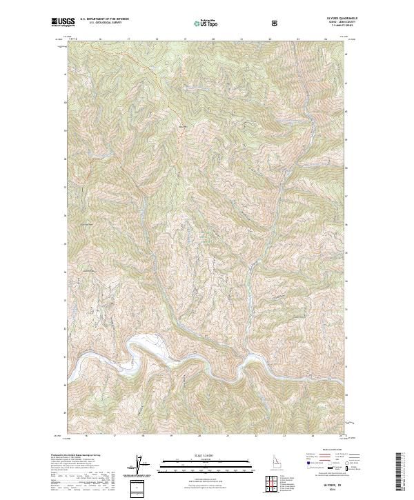
1960 Ulysses Mtn
Lemhi County, ID
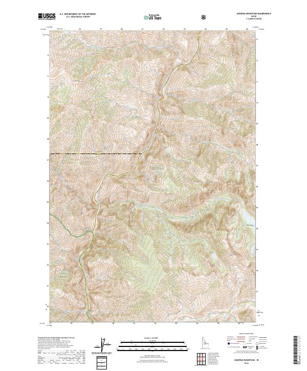
1962 Aggipah Mtn
Lemhi County, ID
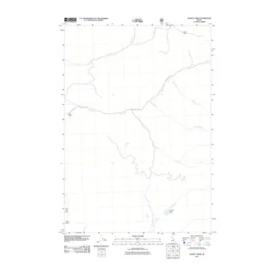
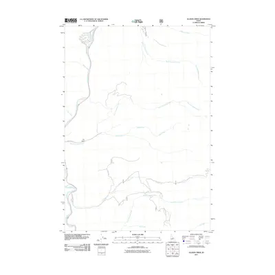
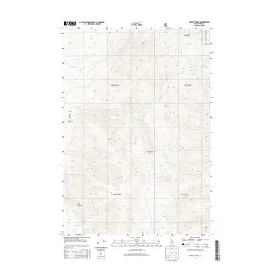
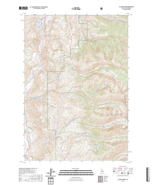
1962 Allison Creek
Lemhi County, ID
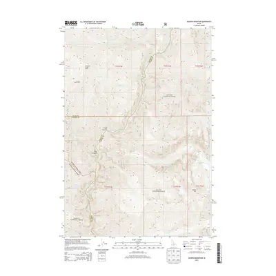
1962 Degan Mtn
Lemhi County, ID
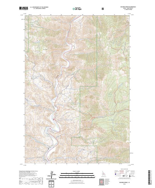
1962 Goldbug Ridge
Lemhi County, ID
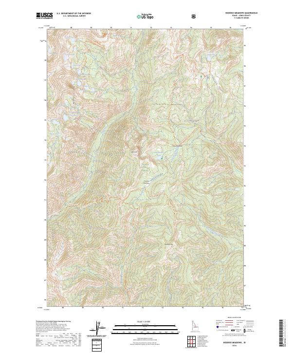
1962 Hoodoo Meadows
Lemhi County, ID
1962 Horse Creek Butte
Lemhi County, ID
1962 Lem Peak
Lemhi County, ID

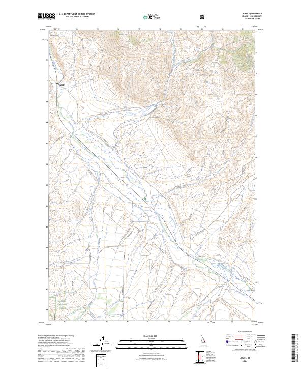
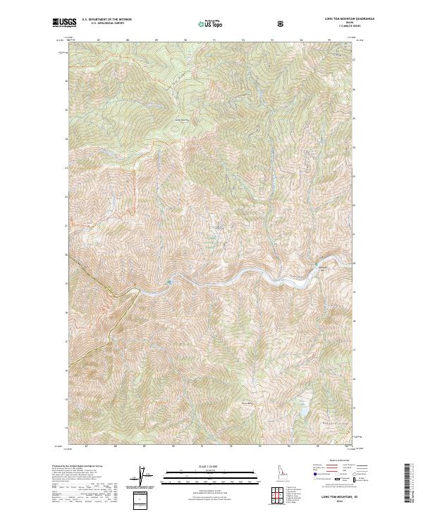
1962 Long Tom Mtn
Lemhi County, ID
1962 Mt Mc Guire
Lemhi County, ID
1962 Poison Peak
Lemhi County, ID
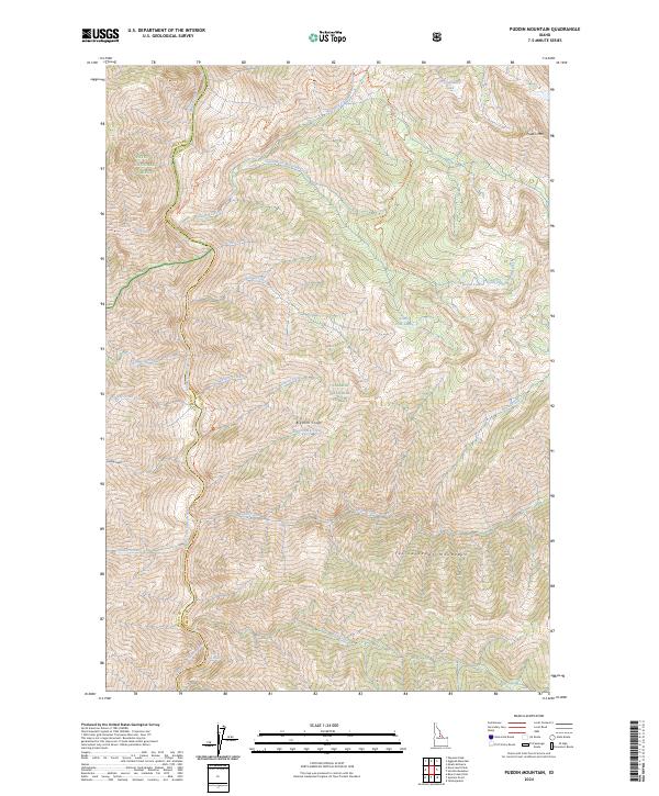
1962 Puddin Mtn
Lemhi County, ID
1962 Square Top
Lemhi County, ID
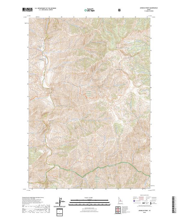
1963 Aparejo Point
Lemhi County, ID
1963 Black Mtn
Lemhi County, ID
1963 Duck Creek Point
Lemhi County, ID
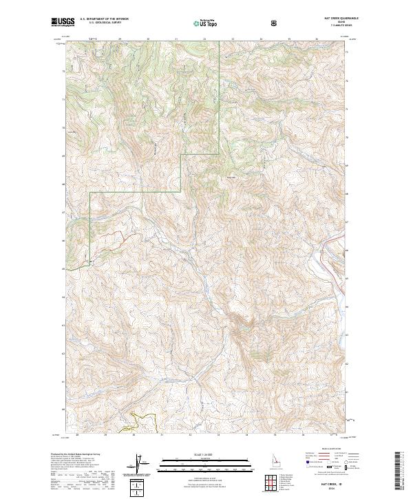
1963 Hat Creek
Lemhi County, ID
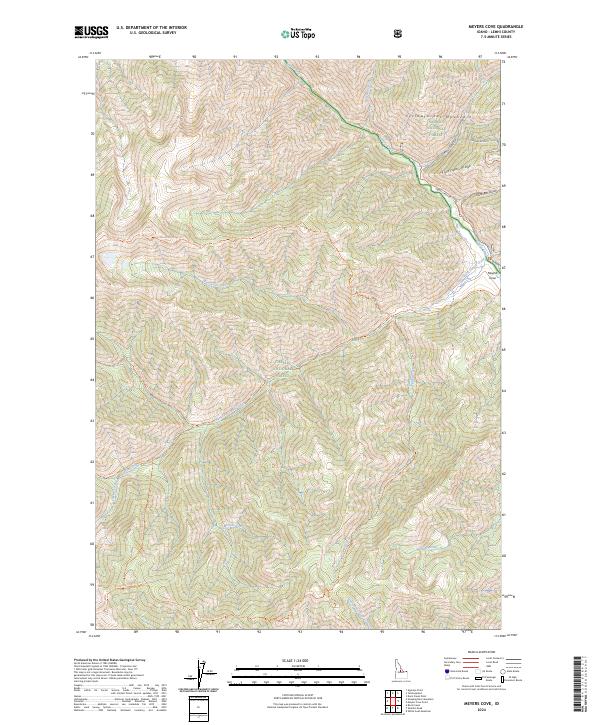
1963 Meyers Cove
Lemhi County, ID
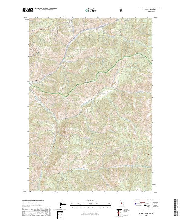
1963 Meyers Cove Point
Lemhi County, ID
1963 Opal Lake
Lemhi County, ID
1963 Rock Creek
Lemhi County, ID
1963 Sheldon Peak
Lemhi County, ID
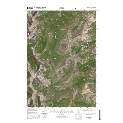
1963 Sleeping Deer Mountain
Lemhi County, ID
1963 Taylor Mountain
Lemhi County, ID
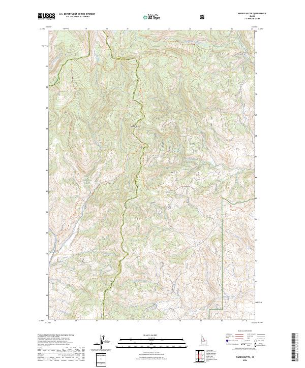
1963 Wards Butte
Lemhi County, ID
1963 Yellowjacket
Lemhi County, ID
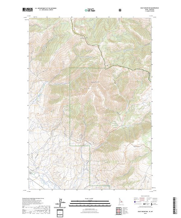
1965 Goat Mountain
Lemhi County, ID
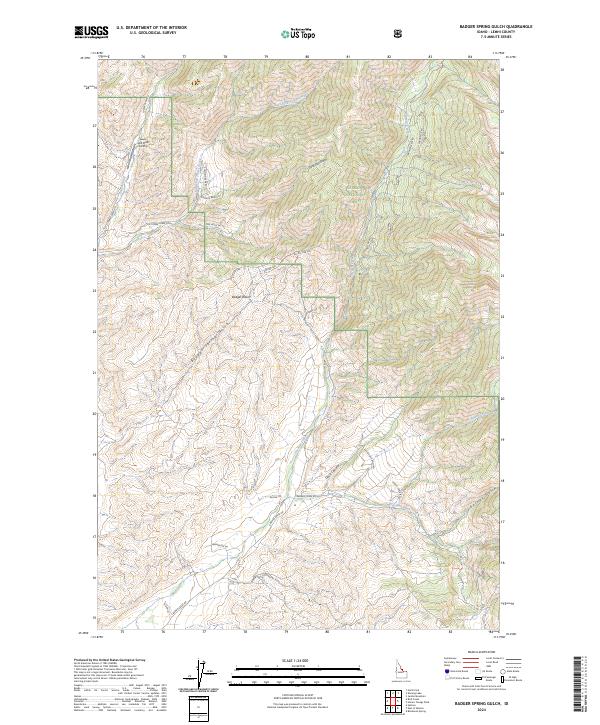
1966 Badger Spring Gulch
Lemhi County, ID
1966 Big Hole Pass
Lemhi County, ID
1966 Bird Creek
Lemhi County, ID
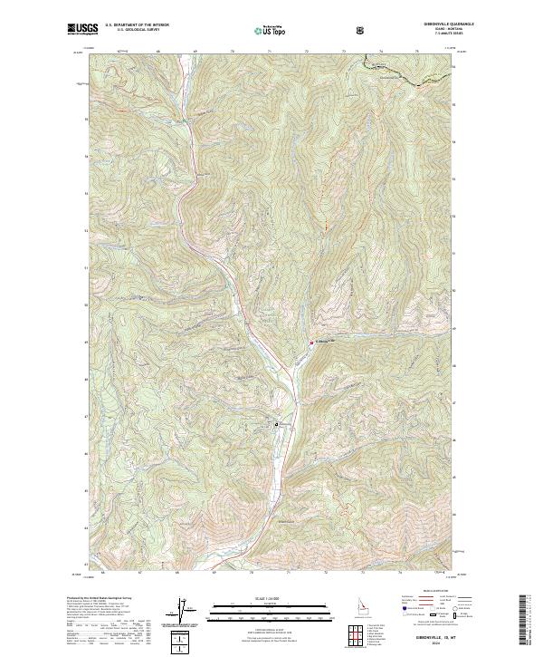
1966 Gibbonsville
Lemhi County, ID
1966 Homer Youngs Peak
Lemhi County, ID
1966 North Fork
Lemhi County, ID
1966 Shewag Lake
Lemhi County, ID
1974 Salmon NW
Lemhi County, ID
1982 Bighorn Crags
Lemhi County, ID
1987 Big Windy Peak
Lemhi County, ID
1987 Coal Kiln Canyon
Lemhi County, ID
1987 Cottonwood Creek
Lemhi County, ID
1987 Gilmore
Lemhi County, ID
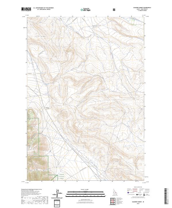
1987 Gilmore Summit
Lemhi County, ID
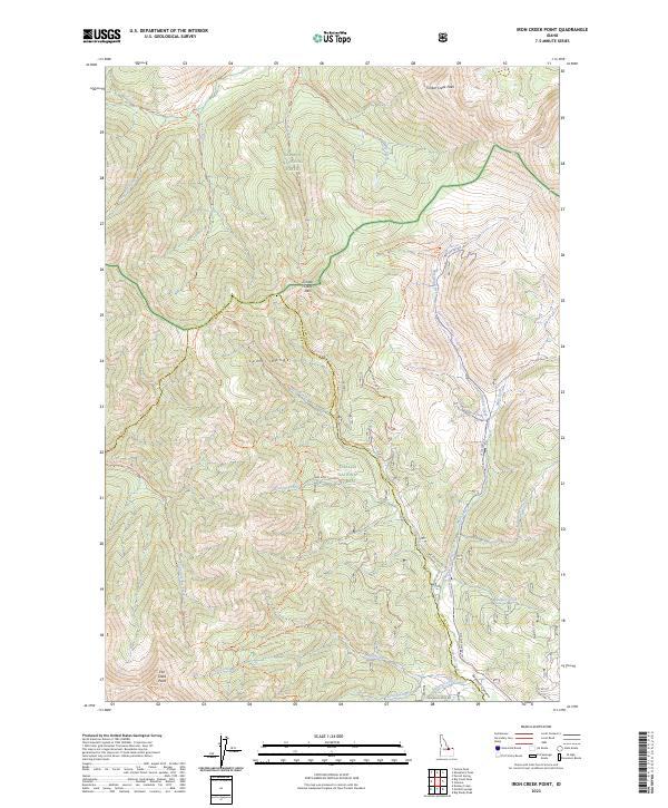
1987 Iron Creek Point
Lemhi County, ID

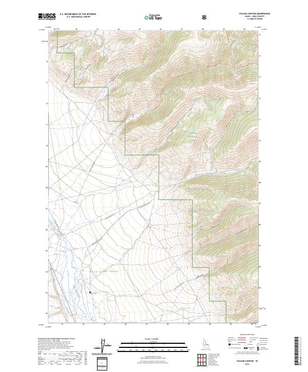
1987 Italian Canyon
Lemhi County, ID
1987 Nicholia
Lemhi County, ID
1987 Powderhorn Gulch
Lemhi County, ID
1987 Purcell Spring
Lemhi County, ID
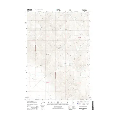
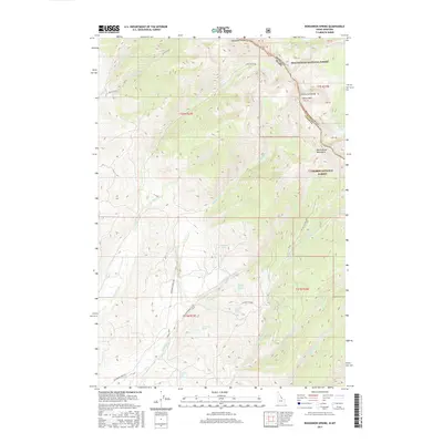
1987 Reservoir Creek
Lemhi County, ID
1987 Scott Peak
Lemhi County, ID
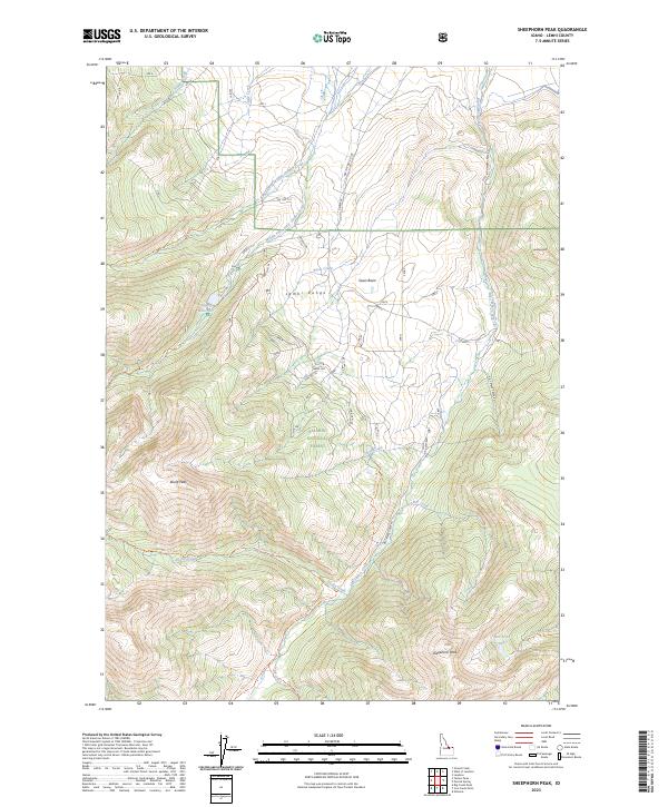
1987 Sheephorn Peak
Lemhi County, ID
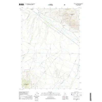
1987 West of Leadore
Lemhi County, ID
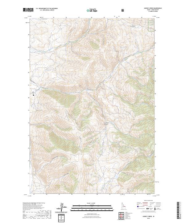
1989 Agency Creek
Lemhi County, ID
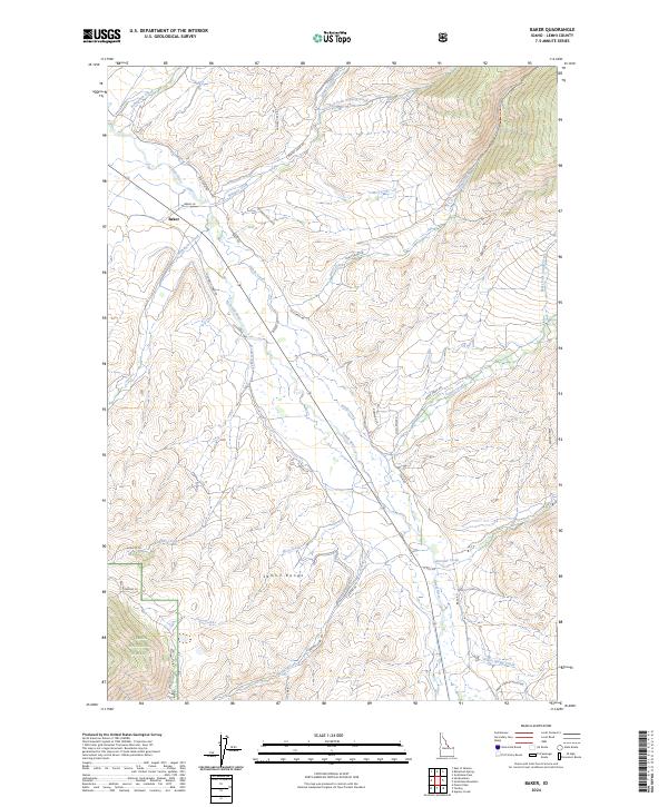
1989 Baker
Lemhi County, ID
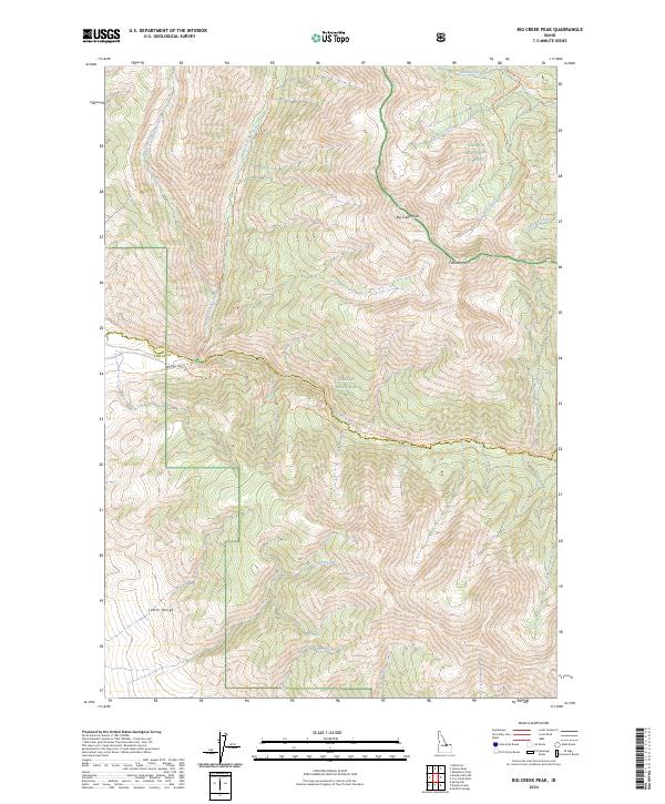
1989 Big Creek Peak
Lemhi County, ID
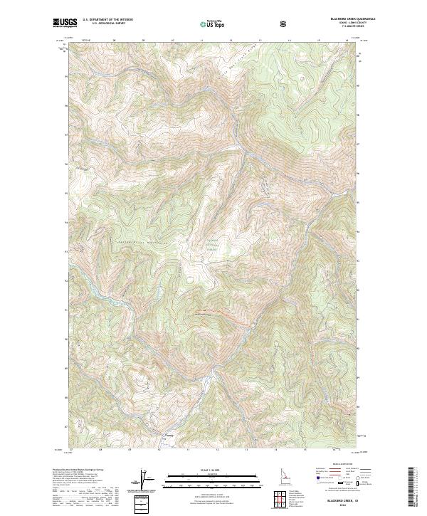
1989 Blackbird Creek
Lemhi County, ID
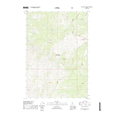
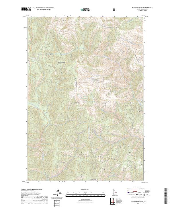
1989 Blackbird Mountain
Lemhi County, ID
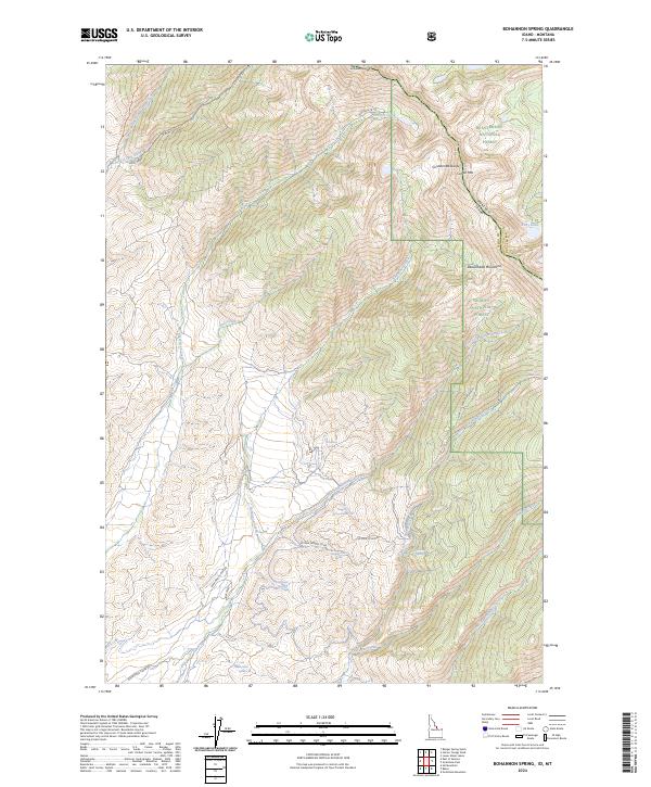
1989 Bohannon Spring
Lemhi County, ID
1989 Cobalt
Lemhi County, ID
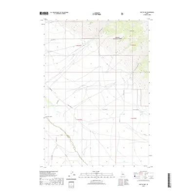
1989 East of May
Lemhi County, ID
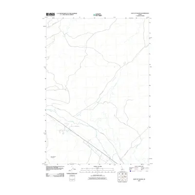
1989 East of Salmon
Lemhi County, ID
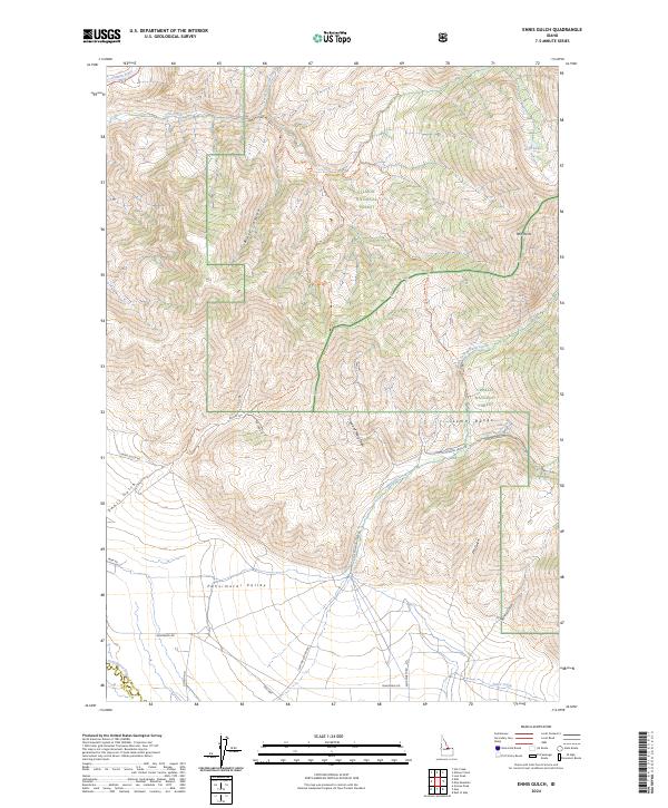
1989 Ennis Gulch
Lemhi County, ID
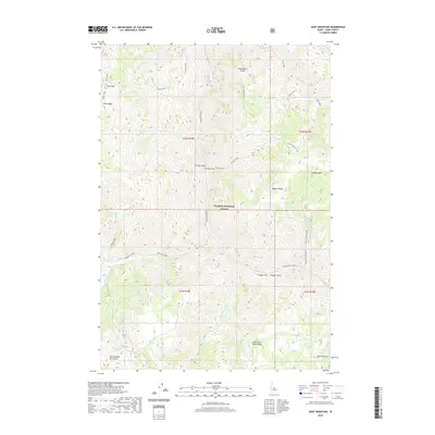
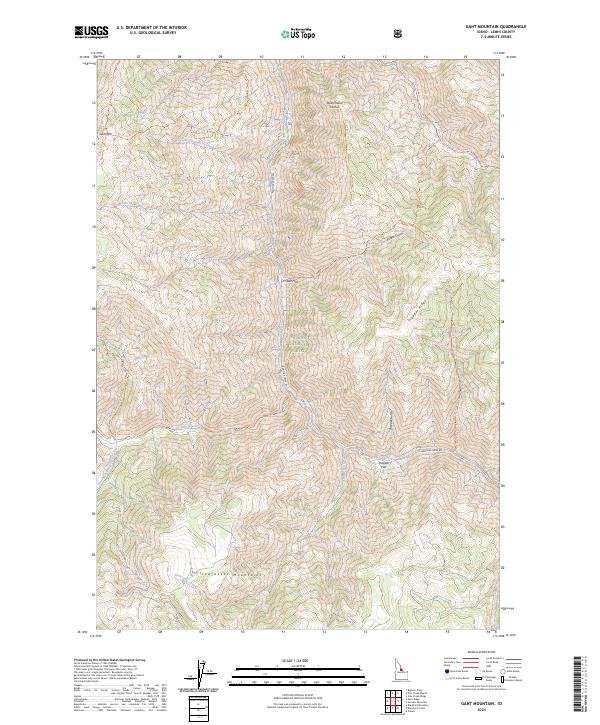
1989 Gant Mountain
Lemhi County, ID
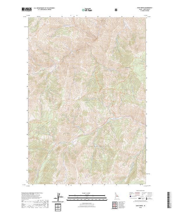
1989 Gant Ridge
Lemhi County, ID
1989 Goldstone Mtn
Lemhi County, ID
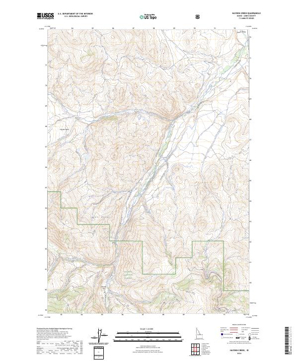
1989 Hayden Creek
Lemhi County, ID
1989 Jureano Mountain
Lemhi County, ID
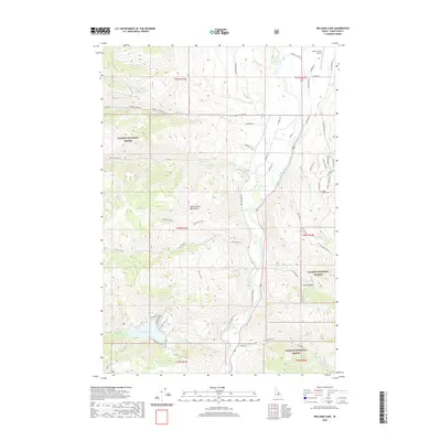
1989 Lake Mountain
Lemhi County, ID
1989 Leesburg
Lemhi County, ID
1989 Lemhi
Lemhi County, ID
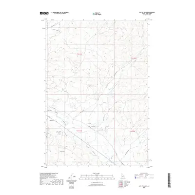
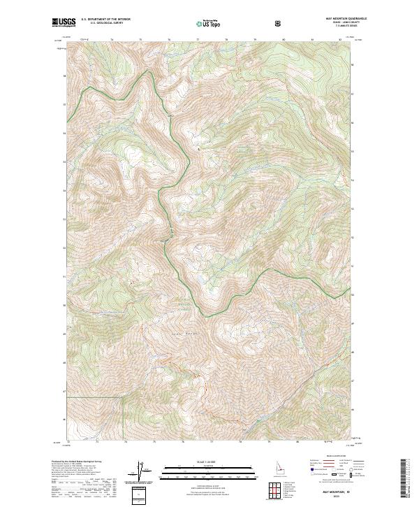
1989 May Mountain
Lemhi County, ID
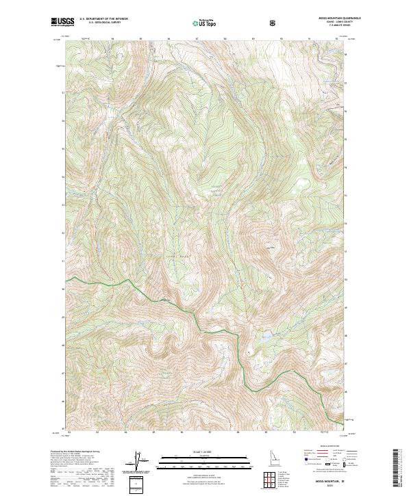
1989 Mogg Mountain
Lemhi County, ID
1989 Patterson
Lemhi County, ID
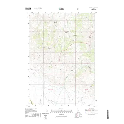
1989 Sal Mountain
Lemhi County, ID
1989 Stroud Creek
Lemhi County, ID
1989 Tendoy
Lemhi County, ID
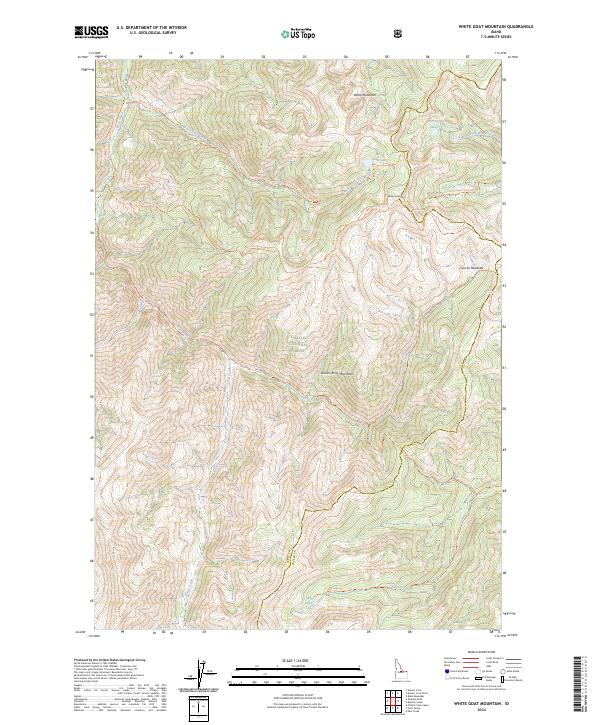
1989 White Goat Mountain
Lemhi County, ID
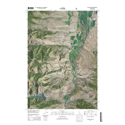
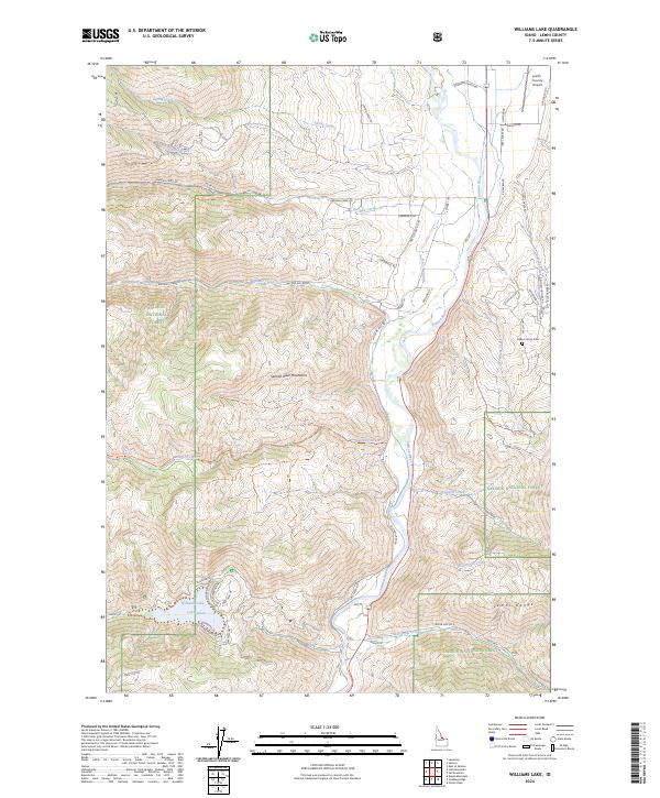
1989 Williams Lake
Lemhi County, ID
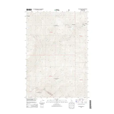
1989 Yellow Peak
Lemhi County, ID
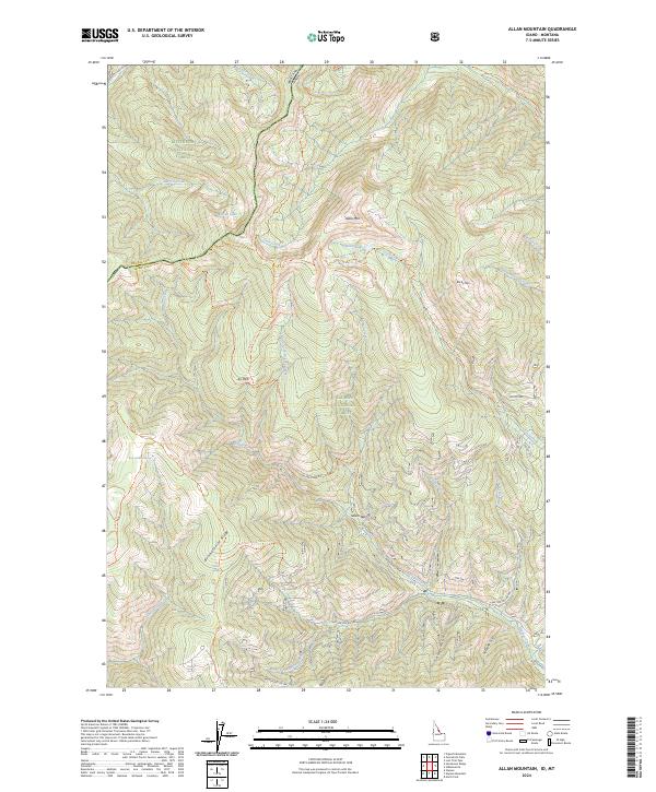
1991 Allan Mountain
Lemhi County, ID
1991 Bighorn Crags
Lemhi County, ID
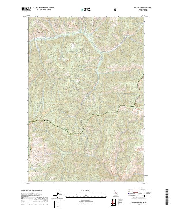
1991 Henderson Ridge
Lemhi County, ID
1991 Napoleon Hill
Lemhi County, ID
1991 Pine Creek Rapids
Lemhi County, ID
1991 Pine Creek Ridge
Lemhi County, ID
1991 Shoup
Lemhi County, ID
1991 Tincup Hill
Lemhi County, ID
1991 Ulysses
Lemhi County, ID
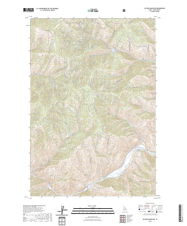
1991 Ulysses Mountain
Lemhi County, ID
1997 Big Hole Pass
Lemhi County, ID
1997 Bohannon Spring
Lemhi County, ID
1997 Cottonwood Creek
Lemhi County, ID
1997 Gibbonsville
Lemhi County, ID
1997 Goat Mountain
Lemhi County, ID
1997 Goldstone Mountain
Lemhi County, ID
1997 Shewag Lake
Lemhi County, ID
1998 Allan Mountain
Lemhi County, ID
1998 Henderson Ridge
Lemhi County, ID
1998 Shoup
Lemhi County, ID
1998 Square Top
Lemhi County, ID
1998 Tincup Hill
Lemhi County, ID
2010 East of Salmon
Lemhi County, ID
2011 Agency Creek
Lemhi County, ID
2011 Aggipah Mountain
Lemhi County, ID
2011 Allan Mountain
Lemhi County, ID
2011 Allison Creek
Lemhi County, ID
2011 Aparejo Point
Lemhi County, ID
2011 Badger Spring Gulch
Lemhi County, ID
2011 Baker
Lemhi County, ID
2011 Big Creek Peak
Lemhi County, ID
2011 Big Hole Pass
Lemhi County, ID
2011 Bighorn Crags
Lemhi County, ID
2011 Big Windy Peak
Lemhi County, ID
2011 Bird Creek
Lemhi County, ID
2011 Blackbird Creek
Lemhi County, ID
2011 Blackbird Mountain
Lemhi County, ID
2011 Black Mountain
Lemhi County, ID
2011 Bohannon Spring
Lemhi County, ID
2011 Coal Kiln Canyon
Lemhi County, ID
2011 Cobalt
Lemhi County, ID
2011 Cottonwood Creek
Lemhi County, ID
2011 Degan Mountain
Lemhi County, ID
2011 Duck Creek Point
Lemhi County, ID
2011 East of May
Lemhi County, ID
2011 Ennis Gulch
Lemhi County, ID
2011 Gant Mountain
Lemhi County, ID
2011 Gant Ridge
Lemhi County, ID
2011 Gibbonsville
Lemhi County, ID
2011 Gilmore
Lemhi County, ID
2011 Gilmore Summit
Lemhi County, ID
2011 Goat Mountain
Lemhi County, ID
2011 Goldbug Ridge
Lemhi County, ID
2011 Goldstone Mountain
Lemhi County, ID
2011 Hat Creek
Lemhi County, ID
2011 Hayden Creek
Lemhi County, ID
2011 Henderson Ridge
Lemhi County, ID
2011 Hoodoo Meadows
Lemhi County, ID
2011 Horse Creek Butte
Lemhi County, ID
2011 Iron Creek Point
Lemhi County, ID
2011 Italian Canyon
Lemhi County, ID
2011 Jureano Mountain
Lemhi County, ID
2011 Lake Mountain
Lemhi County, ID
2011 Leesburg
Lemhi County, ID
2011 Lemhi
Lemhi County, ID
2011 Lem Peak
Lemhi County, ID
2011 Long Tom Mountain
Lemhi County, ID
2011 May Mountain
Lemhi County, ID
2011 Meyers Cove
Lemhi County, ID
2011 Meyers Cove Point
Lemhi County, ID
2011 Mogg Mountain
Lemhi County, ID
2011 Mount McGuire
Lemhi County, ID
2011 Napoleon Hill
Lemhi County, ID
2011 Nicholia
Lemhi County, ID
2011 North Fork
Lemhi County, ID
2011 Opal Lake
Lemhi County, ID
2011 Patterson
Lemhi County, ID
2011 Pine Creek Rapids
Lemhi County, ID
2011 Pine Creek Ridge
Lemhi County, ID
2011 Poison Peak
Lemhi County, ID
2011 Powderhorn Gulch
Lemhi County, ID
2011 Puddin Mountain
Lemhi County, ID
2011 Purcell Spring
Lemhi County, ID
2011 Reservoir Creek
Lemhi County, ID
2011 Rock Creek
Lemhi County, ID
2011 Sal Mountain
Lemhi County, ID
2011 Scott Peak
Lemhi County, ID
2011 Sheephorn Peak
Lemhi County, ID
2011 Sheldon Peak
Lemhi County, ID
2011 Shewag Lake
Lemhi County, ID
2011 Shoup
Lemhi County, ID
2011 Sleeping Deer Mountain
Lemhi County, ID
2011 Square Top
Lemhi County, ID
2011 Stroud Creek
Lemhi County, ID
2011 Taylor Mountain
Lemhi County, ID
2011 Tendoy
Lemhi County, ID
2011 Tincup Hill
Lemhi County, ID
2011 Ulysses
Lemhi County, ID
2011 Ulysses Mountain
Lemhi County, ID
2011 Wards Butte
Lemhi County, ID
2011 West of Leadore
Lemhi County, ID
2011 White Goat Mountain
Lemhi County, ID
2011 Williams Lake
Lemhi County, ID
2011 Yellowjacket
Lemhi County, ID
2011 Yellow Peak
Lemhi County, ID
2013 Agency Creek
Lemhi County, ID
2013 Aggipah Mountain
Lemhi County, ID
2013 Allan Mountain
Lemhi County, ID
2013 Allison Creek
Lemhi County, ID
2013 Aparejo Point
Lemhi County, ID
2013 Badger Spring Gulch
Lemhi County, ID
2013 Baker
Lemhi County, ID
2013 Big Creek Peak
Lemhi County, ID
2013 Big Hole Pass
Lemhi County, ID
2013 Bighorn Crags
Lemhi County, ID
2013 Big Windy Peak
Lemhi County, ID
2013 Bird Creek
Lemhi County, ID
2013 Blackbird Creek
Lemhi County, ID
2013 Blackbird Mountain
Lemhi County, ID
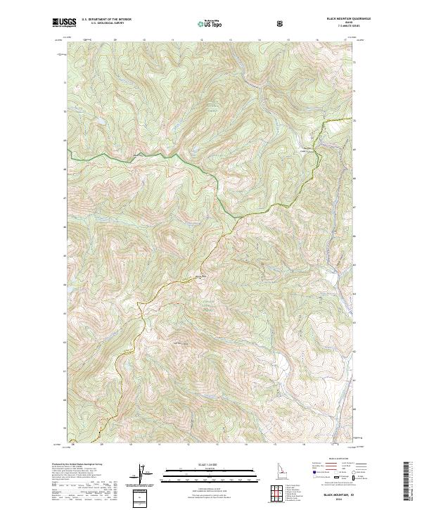
2013 Black Mountain
Lemhi County, ID
2013 Bohannon Spring
Lemhi County, ID

2013 Coal Kiln Canyon
Lemhi County, ID
2013 Cobalt
Lemhi County, ID
2013 Cottonwood Creek
Lemhi County, ID
2013 Degan Mountain
Lemhi County, ID
2013 Duck Creek Point
Lemhi County, ID
2013 East of May
Lemhi County, ID
2013 East of Salmon
Lemhi County, ID
2013 Ennis Gulch
Lemhi County, ID
2013 Gant Mountain
Lemhi County, ID
2013 Gant Ridge
Lemhi County, ID
2013 Gibbonsville
Lemhi County, ID
2013 Gilmore
Lemhi County, ID
2013 Gilmore Summit
Lemhi County, ID
2013 Goat Mountain
Lemhi County, ID
2013 Goldbug Ridge
Lemhi County, ID
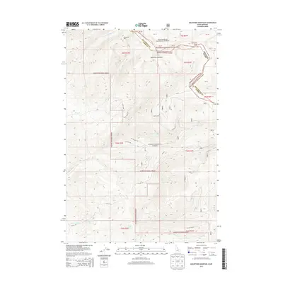
2013 Goldstone Mountain
Lemhi County, ID
2013 Hat Creek
Lemhi County, ID
2013 Hayden Creek
Lemhi County, ID
2013 Henderson Ridge
Lemhi County, ID
2013 Hoodoo Meadows
Lemhi County, ID
2013 Horse Creek Butte
Lemhi County, ID
2013 Iron Creek Point
Lemhi County, ID
2013 Italian Canyon
Lemhi County, ID
2013 Jureano Mountain
Lemhi County, ID
2013 Lake Mountain
Lemhi County, ID
2013 Leesburg
Lemhi County, ID
2013 Lemhi
Lemhi County, ID
2013 Lem Peak
Lemhi County, ID
2013 Long Tom Mountain
Lemhi County, ID
2013 May Mountain
Lemhi County, ID
2013 Meyers Cove
Lemhi County, ID
2013 Meyers Cove Point
Lemhi County, ID
2013 Mogg Mountain
Lemhi County, ID
2013 Mount McGuire
Lemhi County, ID
2013 Napoleon Hill
Lemhi County, ID
2013 Nicholia
Lemhi County, ID
2013 North Fork
Lemhi County, ID
2013 Opal Lake
Lemhi County, ID
2013 Patterson
Lemhi County, ID
2013 Pine Creek Rapids
Lemhi County, ID
2013 Pine Creek Ridge
Lemhi County, ID
2013 Poison Peak
Lemhi County, ID
2013 Powderhorn Gulch
Lemhi County, ID
2013 Puddin Mountain
Lemhi County, ID
2013 Purcell Spring
Lemhi County, ID
2013 Rock Creek
Lemhi County, ID
2013 Sal Mountain
Lemhi County, ID
2013 Scott Peak
Lemhi County, ID
2013 Sheephorn Peak
Lemhi County, ID
2013 Sheldon Peak
Lemhi County, ID
2013 Shewag Lake
Lemhi County, ID
2013 Shoup
Lemhi County, ID
2013 Sleeping Deer Mountain
Lemhi County, ID
2013 Square Top
Lemhi County, ID
2013 Stroud Creek
Lemhi County, ID
2013 Taylor Mountain
Lemhi County, ID
2013 Tendoy
Lemhi County, ID
2013 Tincup Hill
Lemhi County, ID
2013 Ulysses
Lemhi County, ID
2013 Ulysses Mountain
Lemhi County, ID
2013 Wards Butte
Lemhi County, ID
2013 West of Leadore
Lemhi County, ID
2013 White Goat Mountain
Lemhi County, ID
2013 Williams Lake
Lemhi County, ID
2013 Yellowjacket
Lemhi County, ID
2013 Yellow Peak
Lemhi County, ID
2014 Reservoir Creek
Lemhi County, ID
2017 Agency Creek
Lemhi County, ID
2017 Aggipah Mountain
Lemhi County, ID
2017 Allan Mountain
Lemhi County, ID
2017 Allison Creek
Lemhi County, ID
2017 Aparejo Point
Lemhi County, ID
2017 Badger Spring Gulch
Lemhi County, ID
2017 Baker
Lemhi County, ID
2017 Big Creek Peak
Lemhi County, ID
2017 Big Hole Pass
Lemhi County, ID
2017 Bighorn Crags
Lemhi County, ID
2017 Big Windy Peak
Lemhi County, ID
2017 Bird Creek
Lemhi County, ID
2017 Blackbird Creek
Lemhi County, ID
2017 Blackbird Mountain
Lemhi County, ID
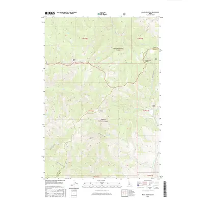
2017 Black Mountain
Lemhi County, ID
2017 Bohannon Spring
Lemhi County, ID
2017 Coal Kiln Canyon
Lemhi County, ID
2017 Cobalt
Lemhi County, ID
2017 Cottonwood Creek
Lemhi County, ID
2017 Degan Mountain
Lemhi County, ID
2017 Duck Creek Point
Lemhi County, ID
2017 East of May
Lemhi County, ID
2017 East of Salmon
Lemhi County, ID
2017 Ennis Gulch
Lemhi County, ID
2017 Gant Mountain
Lemhi County, ID
2017 Gant Ridge
Lemhi County, ID
2017 Gibbonsville
Lemhi County, ID
2017 Gilmore
Lemhi County, ID
2017 Gilmore Summit
Lemhi County, ID
2017 Goat Mountain
Lemhi County, ID
2017 Goldbug Ridge
Lemhi County, ID
2017 Goldstone Mountain
Lemhi County, ID
2017 Hat Creek
Lemhi County, ID
2017 Hayden Creek
Lemhi County, ID
2017 Henderson Ridge
Lemhi County, ID
2017 Hoodoo Meadows
Lemhi County, ID
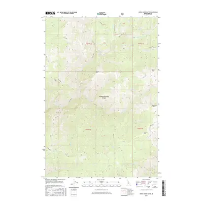
2017 Horse Creek Butte
Lemhi County, ID
2017 Iron Creek Point
Lemhi County, ID
2017 Italian Canyon
Lemhi County, ID
2017 Jureano Mountain
Lemhi County, ID
2017 Lake Mountain
Lemhi County, ID
2017 Leesburg
Lemhi County, ID
2017 Lemhi
Lemhi County, ID
2017 Lem Peak
Lemhi County, ID
2017 Long Tom Mountain
Lemhi County, ID
2017 May Mountain
Lemhi County, ID
2017 Meyers Cove
Lemhi County, ID
2017 Meyers Cove Point
Lemhi County, ID
2017 Mogg Mountain
Lemhi County, ID
2017 Mount McGuire
Lemhi County, ID
2017 Napoleon Hill
Lemhi County, ID
2017 Nicholia
Lemhi County, ID
2017 North Fork
Lemhi County, ID
2017 Opal Lake
Lemhi County, ID
2017 Patterson
Lemhi County, ID
2017 Pine Creek Rapids
Lemhi County, ID
2017 Pine Creek Ridge
Lemhi County, ID
2017 Poison Peak
Lemhi County, ID
2017 Powderhorn Gulch
Lemhi County, ID
2017 Puddin Mountain
Lemhi County, ID
2017 Purcell Spring
Lemhi County, ID
2017 Reservoir Creek
Lemhi County, ID
2017 Rock Creek
Lemhi County, ID
2017 Sal Mountain
Lemhi County, ID
2017 Scott Peak
Lemhi County, ID
2017 Sheephorn Peak
Lemhi County, ID
2017 Sheldon Peak
Lemhi County, ID
2017 Shewag Lake
Lemhi County, ID
2017 Shoup
Lemhi County, ID
2017 Sleeping Deer Mountain
Lemhi County, ID
2017 Square Top
Lemhi County, ID
2017 Stroud Creek
Lemhi County, ID
2017 Taylor Mountain
Lemhi County, ID
2017 Tendoy
Lemhi County, ID
2017 Tincup Hill
Lemhi County, ID
2017 Ulysses
Lemhi County, ID
2017 Ulysses Mountain
Lemhi County, ID
2017 Wards Butte
Lemhi County, ID
2017 West of Leadore
Lemhi County, ID
2017 White Goat Mountain
Lemhi County, ID
2017 Williams Lake
Lemhi County, ID
2017 Yellowjacket
Lemhi County, ID
2017 Yellow Peak
Lemhi County, ID
2020 Agency Creek
Lemhi County, ID
2020 Aggipah Mountain
Lemhi County, ID
2020 Allan Mountain
Lemhi County, ID
2020 Allison Creek
Lemhi County, ID
2020 Aparejo Point
Lemhi County, ID
2020 Badger Spring Gulch
Lemhi County, ID
2020 Baker
Lemhi County, ID
2020 Big Creek Peak
Lemhi County, ID
2020 Big Hole Pass
Lemhi County, ID
2020 Bighorn Crags
Lemhi County, ID
2020 Big Windy Peak
Lemhi County, ID
2020 Bird Creek
Lemhi County, ID
2020 Blackbird Creek
Lemhi County, ID
2020 Blackbird Mountain
Lemhi County, ID
2020 Black Mountain
Lemhi County, ID
2020 Bohannon Spring
Lemhi County, ID
2020 Coal Kiln Canyon
Lemhi County, ID
2020 Cobalt
Lemhi County, ID
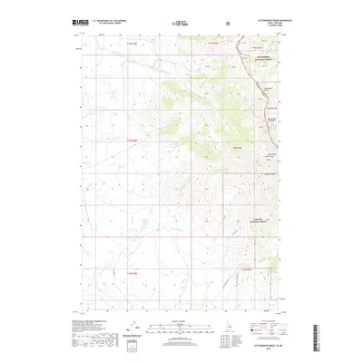
2020 Cottonwood Creek
Lemhi County, ID
2020 Degan Mountain
Lemhi County, ID
2020 Duck Creek Point
Lemhi County, ID
2020 East of May
Lemhi County, ID
2020 East of Salmon
Lemhi County, ID
2020 Ennis Gulch
Lemhi County, ID
2020 Gant Mountain
Lemhi County, ID
2020 Gant Ridge
Lemhi County, ID
2020 Gibbonsville
Lemhi County, ID
2020 Gilmore
Lemhi County, ID
2020 Gilmore Summit
Lemhi County, ID
2020 Goat Mountain
Lemhi County, ID
2020 Goldbug Ridge
Lemhi County, ID
2020 Goldstone Mountain
Lemhi County, ID
2020 Hat Creek
Lemhi County, ID
2020 Hayden Creek
Lemhi County, ID
2020 Henderson Ridge
Lemhi County, ID
2020 Hoodoo Meadows
Lemhi County, ID
2020 Horse Creek Butte
Lemhi County, ID
2020 Iron Creek Point
Lemhi County, ID
2020 Italian Canyon
Lemhi County, ID
2020 Jureano Mountain
Lemhi County, ID
2020 Lake Mountain
Lemhi County, ID
2020 Leesburg
Lemhi County, ID
2020 Lemhi
Lemhi County, ID
2020 Lem Peak
Lemhi County, ID
2020 Long Tom Mountain
Lemhi County, ID
2020 May Mountain
Lemhi County, ID
2020 Meyers Cove
Lemhi County, ID
2020 Meyers Cove Point
Lemhi County, ID
2020 Mogg Mountain
Lemhi County, ID
2020 Mount McGuire
Lemhi County, ID
2020 Napoleon Hill
Lemhi County, ID
2020 Nicholia
Lemhi County, ID
2020 North Fork
Lemhi County, ID
2020 Opal Lake
Lemhi County, ID
2020 Patterson
Lemhi County, ID
2020 Pine Creek Rapids
Lemhi County, ID
2020 Pine Creek Ridge
Lemhi County, ID
2020 Poison Peak
Lemhi County, ID
2020 Powderhorn Gulch
Lemhi County, ID
2020 Puddin Mountain
Lemhi County, ID
2020 Purcell Spring
Lemhi County, ID
2020 Reservoir Creek
Lemhi County, ID
2020 Rock Creek
Lemhi County, ID
2020 Sal Mountain
Lemhi County, ID
2020 Scott Peak
Lemhi County, ID
2020 Sheephorn Peak
Lemhi County, ID
2020 Sheldon Peak
Lemhi County, ID
2020 Shewag Lake
Lemhi County, ID
2020 Shoup
Lemhi County, ID

2020 Sleeping Deer Mountain
Lemhi County, ID
2020 Square Top
Lemhi County, ID
2020 Stroud Creek
Lemhi County, ID
2020 Taylor Mountain
Lemhi County, ID
2020 Tendoy
Lemhi County, ID
2020 Tincup Hill
Lemhi County, ID
2020 Ulysses
Lemhi County, ID
2020 Ulysses Mountain
Lemhi County, ID
2020 Wards Butte
Lemhi County, ID
2020 West of Leadore
Lemhi County, ID
2020 White Goat Mountain
Lemhi County, ID
2020 Williams Lake
Lemhi County, ID
2020 Yellowjacket
Lemhi County, ID
2020 Yellow Peak
Lemhi County, ID
2023 Agency Creek
Lemhi County, ID
2023 Bighorn Crags
Lemhi County, ID
2023 Big Windy Peak
Lemhi County, ID
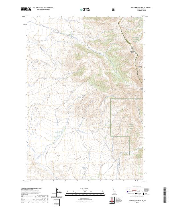
2023 Cottonwood Creek
Lemhi County, ID
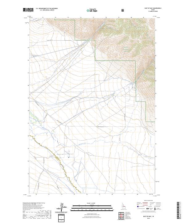
2023 East of May
Lemhi County, ID
2023 Gant Mountain
Lemhi County, ID
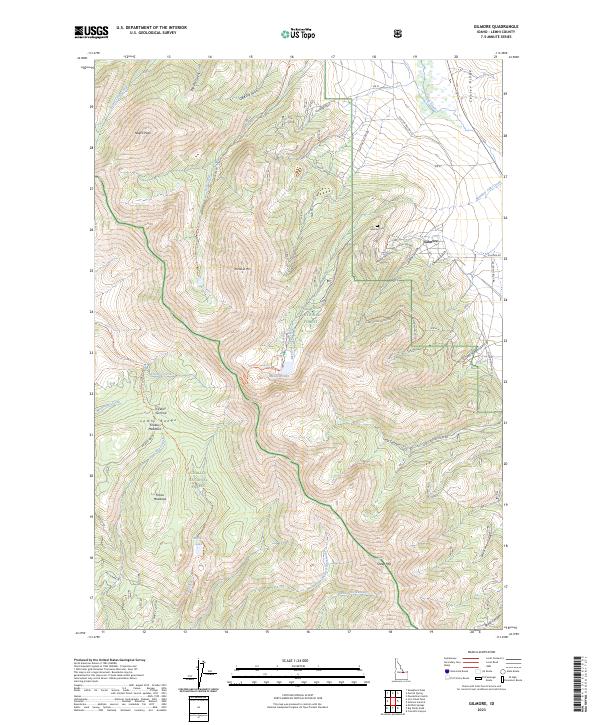
2023 Gilmore
Lemhi County, ID
2023 Iron Creek Point
Lemhi County, ID
2023 Italian Canyon
Lemhi County, ID
2023 May Mountain
Lemhi County, ID
2023 Mogg Mountain
Lemhi County, ID
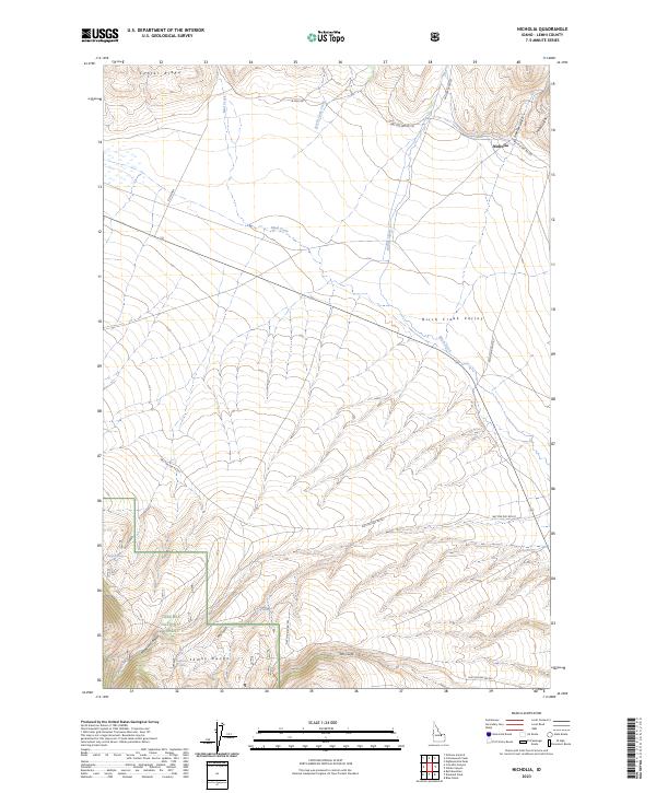
2023 Nicholia
Lemhi County, ID
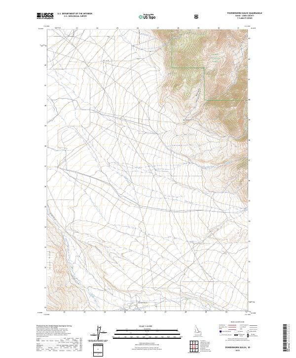
2023 Powderhorn Gulch
Lemhi County, ID
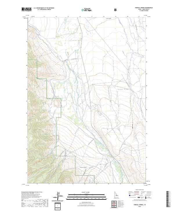
2023 Purcell Spring
Lemhi County, ID
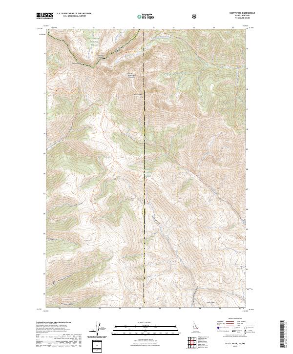
2023 Scott Peak
Lemhi County, ID
2023 Sheephorn Peak
Lemhi County, ID
2023 Shoup
Lemhi County, ID
2023 Taylor Mountain
Lemhi County, ID
2023 Tendoy
Lemhi County, ID
2023 Ulysses
Lemhi County, ID
2024 Aggipah Mountain
Lemhi County, ID
2024 Allan Mountain
Lemhi County, ID
2024 Allison Creek
Lemhi County, ID
2024 Aparejo Point
Lemhi County, ID
2024 Badger Spring Gulch
Lemhi County, ID
2024 Baker
Lemhi County, ID
2024 Big Creek Peak
Lemhi County, ID
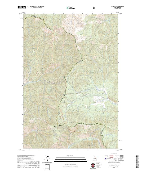
2024 Big Hole Pass
Lemhi County, ID
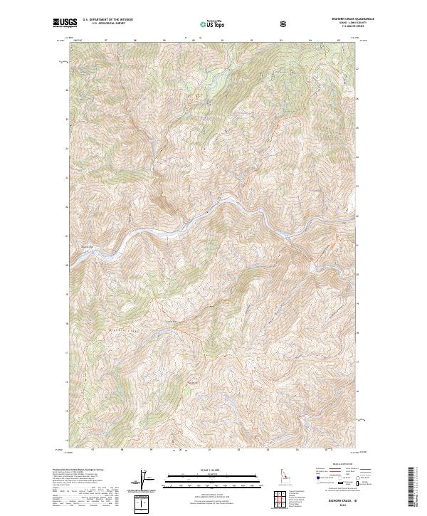
2024 Bighorn Crags
Lemhi County, ID
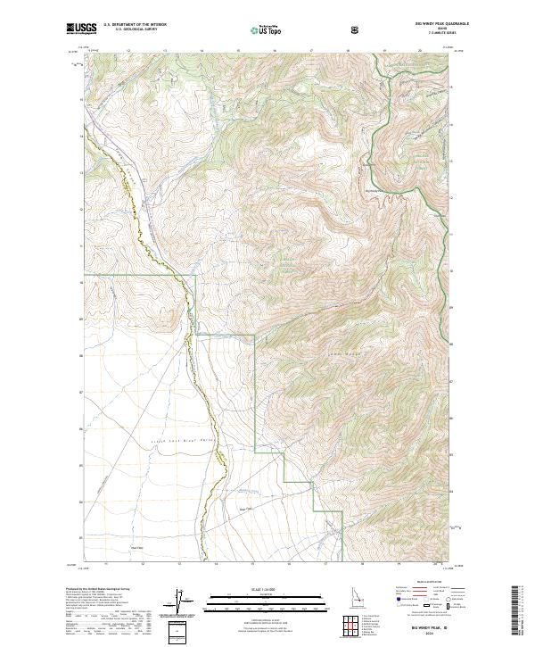
2024 Big Windy Peak
Lemhi County, ID
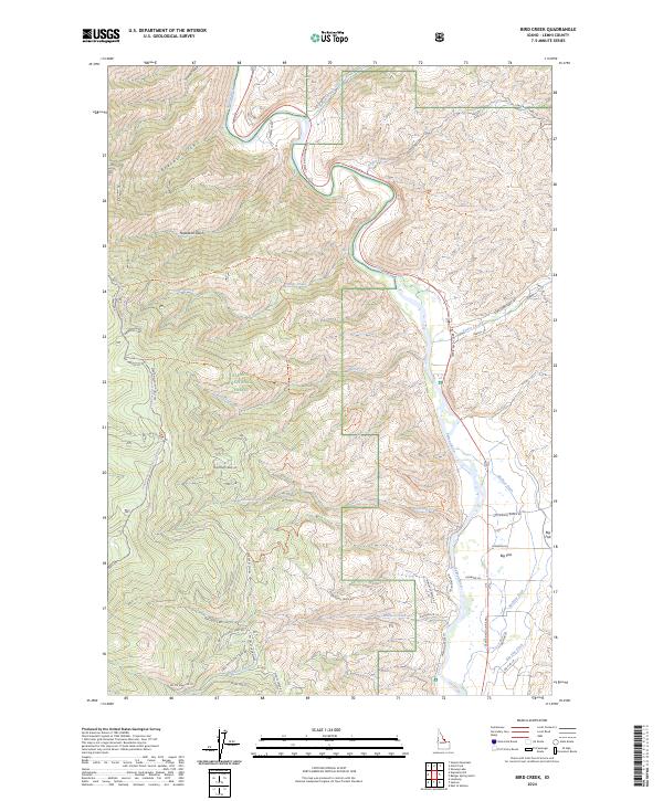
2024 Bird Creek
Lemhi County, ID
2024 Blackbird Creek
Lemhi County, ID
2024 Blackbird Mountain
Lemhi County, ID
2024 Black Mountain
Lemhi County, ID
2024 Bohannon Spring
Lemhi County, ID
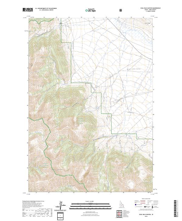
2024 Coal Kiln Canyon
Lemhi County, ID
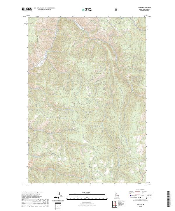
2024 Cobalt
Lemhi County, ID

2024 Degan Mountain
Lemhi County, ID
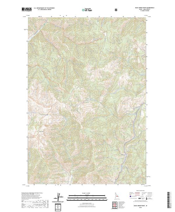
2024 Duck Creek Point
Lemhi County, ID
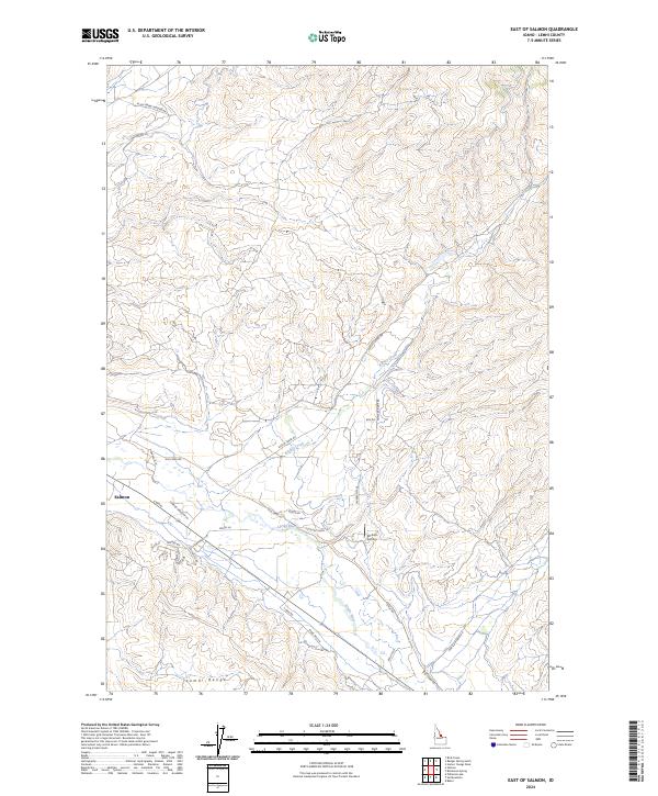
2024 East of Salmon
Lemhi County, ID
2024 Ennis Gulch
Lemhi County, ID
2024 Gant Mountain
Lemhi County, ID
2024 Gant Ridge
Lemhi County, ID
2024 Gibbonsville
Lemhi County, ID
2024 Gilmore Summit
Lemhi County, ID
2024 Goat Mountain
Lemhi County, ID
2024 Goldbug Ridge
Lemhi County, ID
2024 Goldstone Mountain
Lemhi County, ID
2024 Hat Creek
Lemhi County, ID
2024 Hayden Creek
Lemhi County, ID
2024 Henderson Ridge
Lemhi County, ID
2024 Hoodoo Meadows
Lemhi County, ID
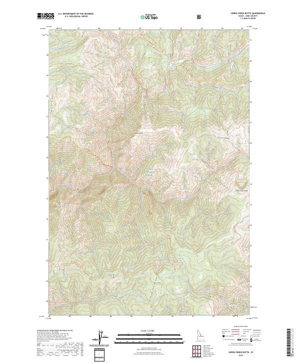
2024 Horse Creek Butte
Lemhi County, ID
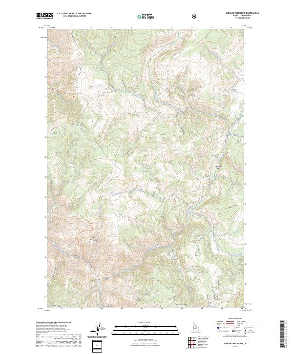
2024 Jureano Mountain
Lemhi County, ID
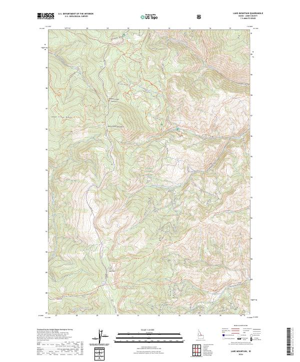
2024 Lake Mountain
Lemhi County, ID
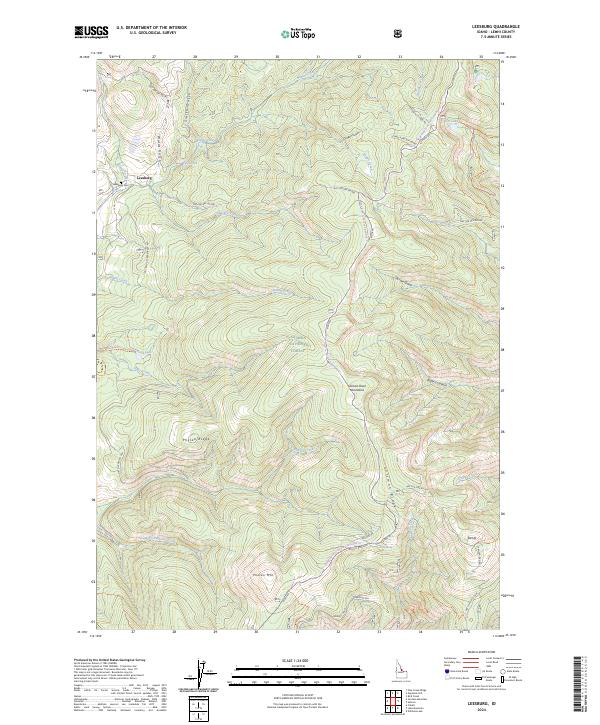
2024 Leesburg
Lemhi County, ID
2024 Lemhi
Lemhi County, ID

2024 Lem Peak
Lemhi County, ID
2024 Long Tom Mountain
Lemhi County, ID
2024 Meyers Cove
Lemhi County, ID
2024 Meyers Cove Point
Lemhi County, ID
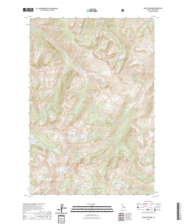
2024 Mount McGuire
Lemhi County, ID
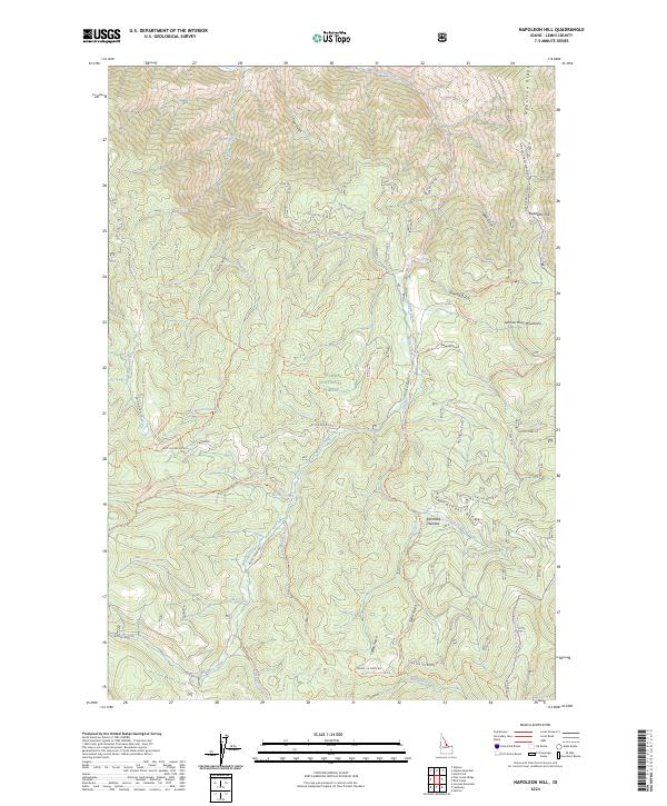
2024 Napoleon Hill
Lemhi County, ID
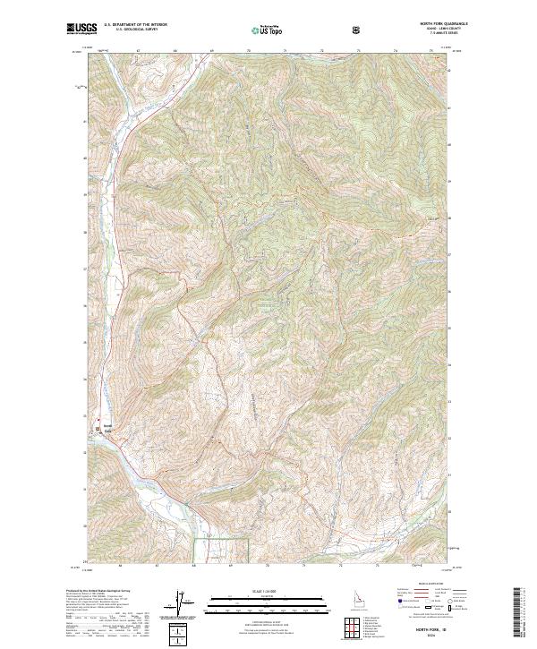
2024 North Fork
Lemhi County, ID
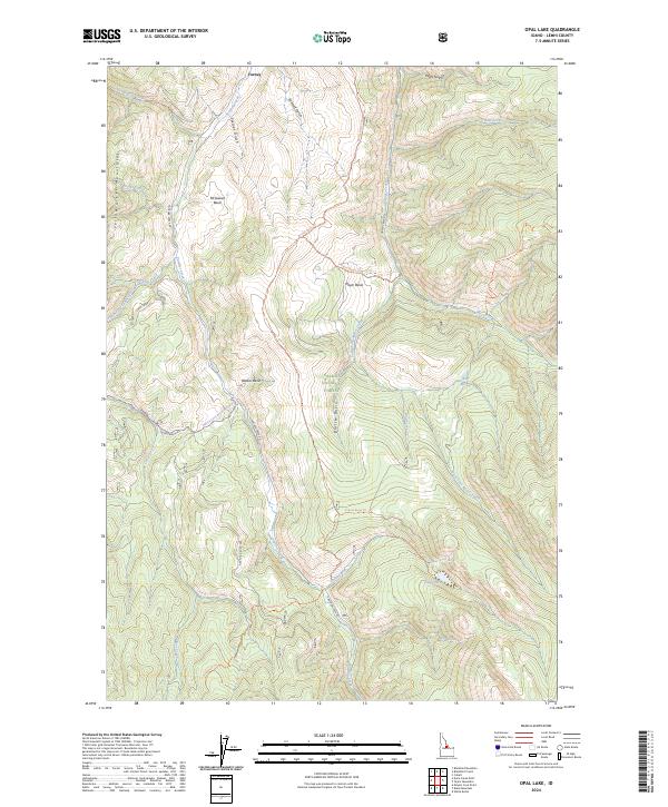
2024 Opal Lake
Lemhi County, ID
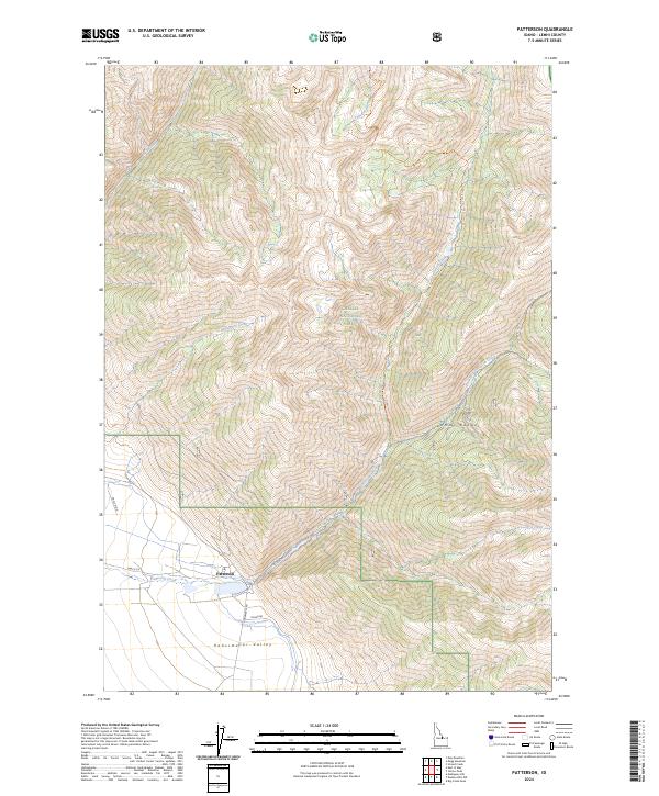
2024 Patterson
Lemhi County, ID
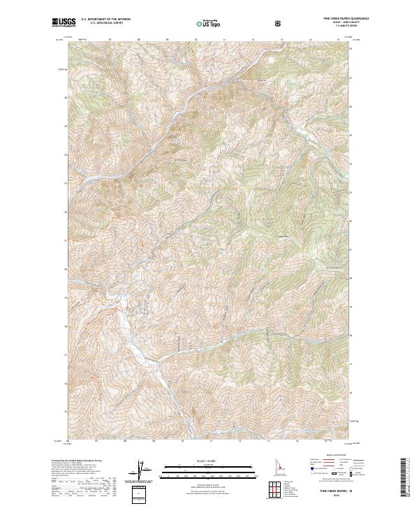
2024 Pine Creek Rapids
Lemhi County, ID
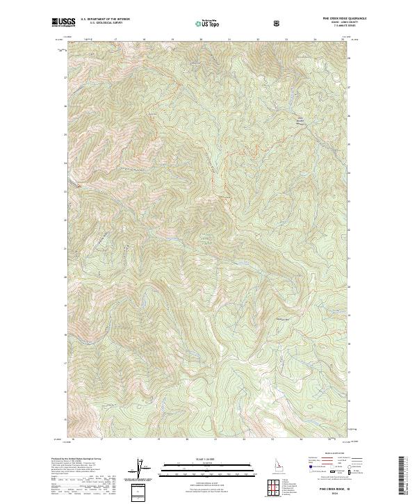
2024 Pine Creek Ridge
Lemhi County, ID
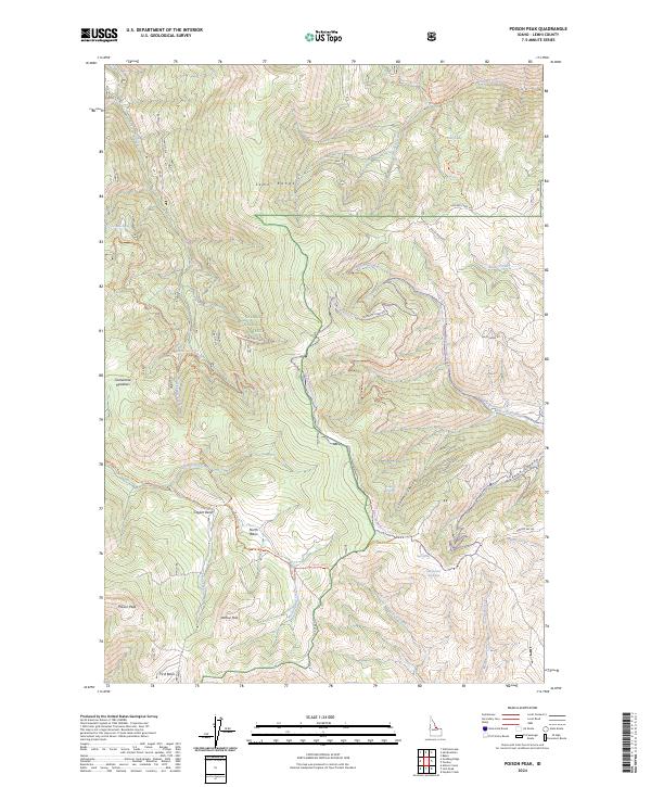
2024 Poison Peak
Lemhi County, ID
2024 Puddin Mountain
Lemhi County, ID
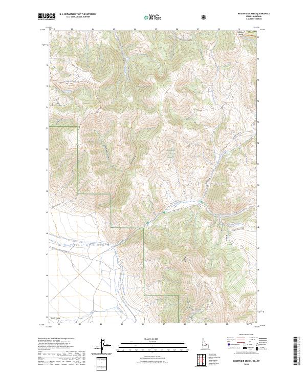
2024 Reservoir Creek
Lemhi County, ID
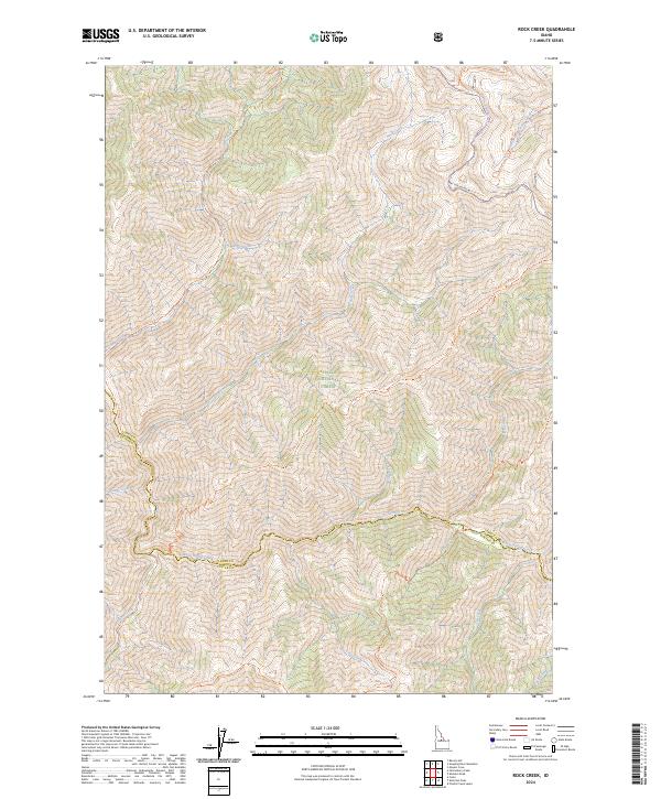
2024 Rock Creek
Lemhi County, ID
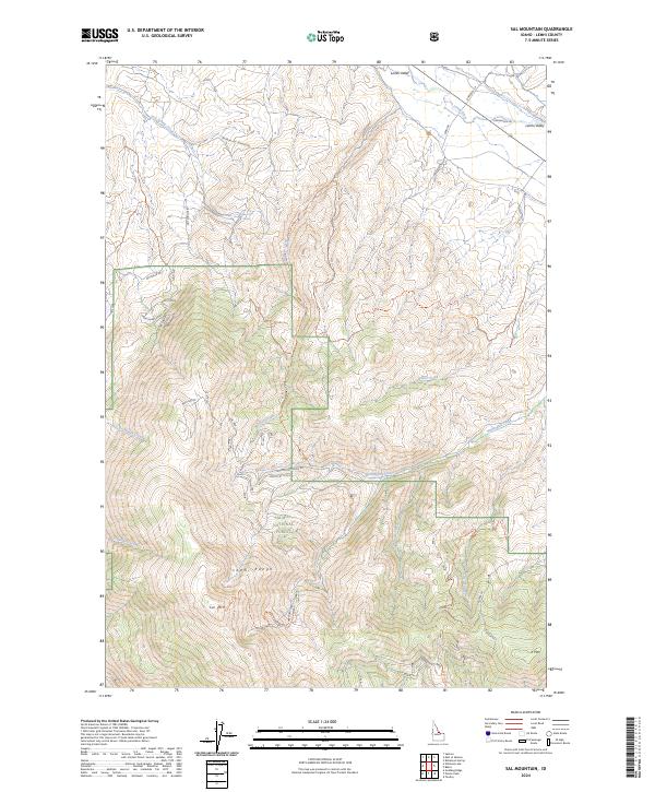
2024 Sal Mountain
Lemhi County, ID
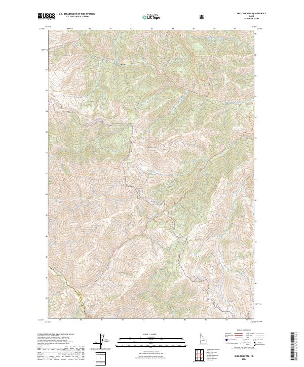
2024 Sheldon Peak
Lemhi County, ID
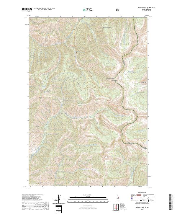
2024 Shewag Lake
Lemhi County, ID
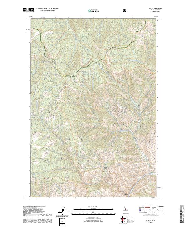
2024 Shoup
Lemhi County, ID
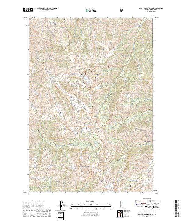
2024 Sleeping Deer Mountain
Lemhi County, ID
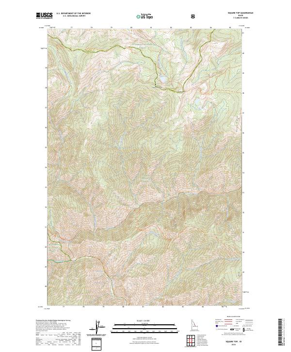
2024 Square Top
Lemhi County, ID
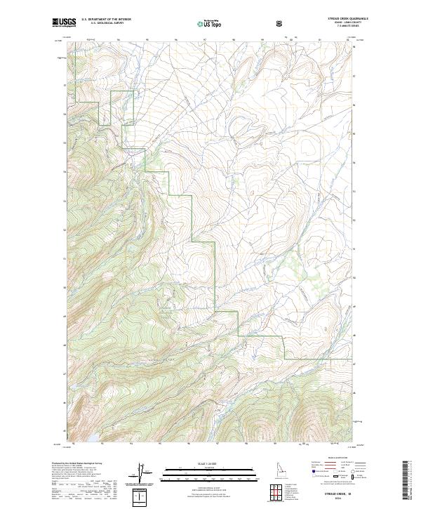
2024 Stroud Creek
Lemhi County, ID
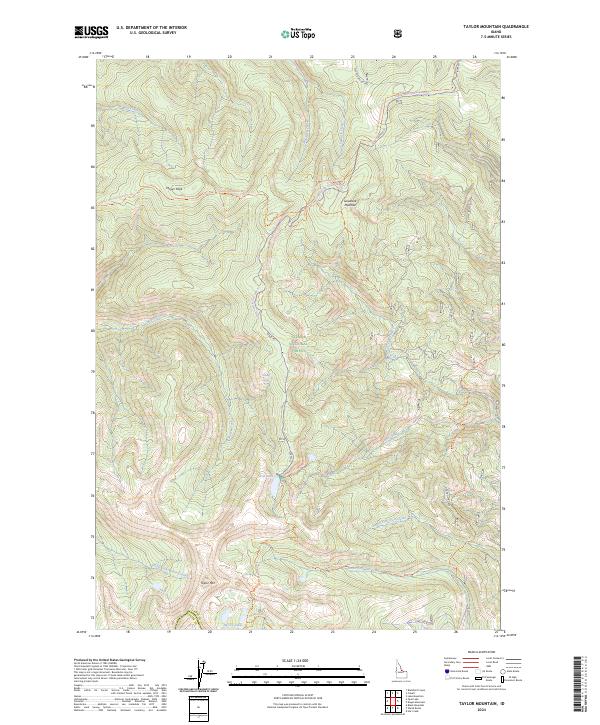
2024 Taylor Mountain
Lemhi County, ID
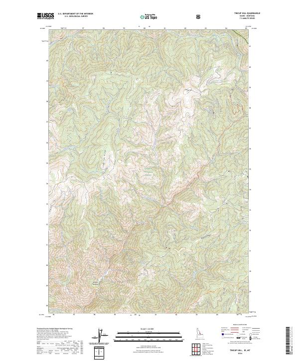
2024 Tincup Hill
Lemhi County, ID
2024 Ulysses
Lemhi County, ID
2024 Ulysses Mountain
Lemhi County, ID
2024 Wards Butte
Lemhi County, ID

2024 West of Leadore
Lemhi County, ID
2024 White Goat Mountain
Lemhi County, ID
2024 Williams Lake
Lemhi County, ID
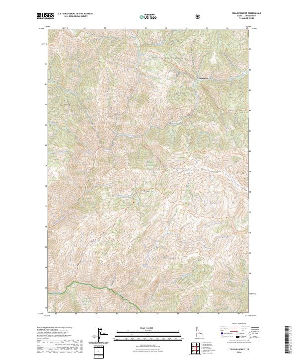
2024 Yellowjacket
Lemhi County, ID
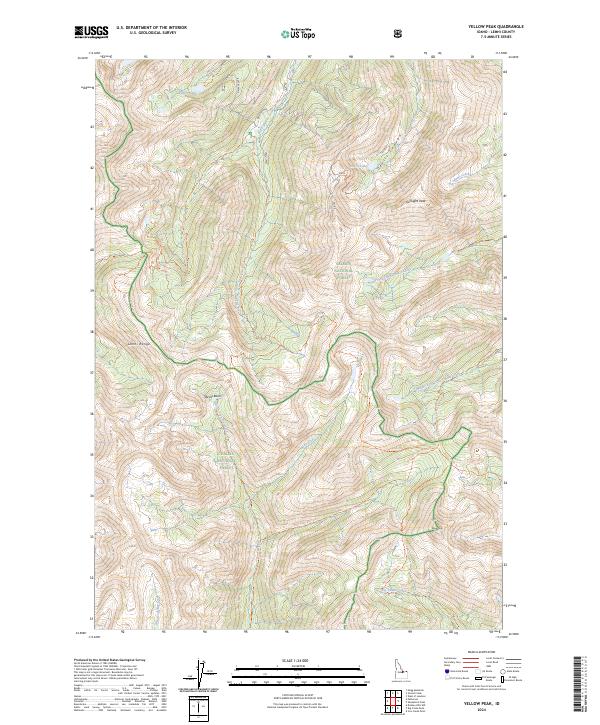
2024 Yellow Peak
Lemhi County, ID