
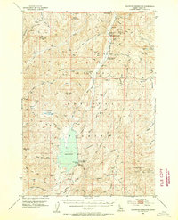
1953 Map of Deadwood Reservoir
USGS Topo · Published 1955About this map
Deadwood Reservoir dominates the lower-central portion of this Boise National Forest landscape, its waters contained by the dam near the Lower Deadwood Guard Station. The map illustrates a high-elevation backcountry in the early 1950s, defined by isolated resource extraction and forest management facilities. To the north, the Deadwood Mine and Deadwood Lodge sit tucked away near Pilgram Mtn, while the Upper Deadwood Guard Station marks a key outpost along the Deadwood River. The terrain is deeply corrugated, featuring named basins such as Bull Basin and Tranquil Basin that speak to the area's grazing and hunting history. Small-scale mining activity is evidenced by the Mary Blue Mine further east, and the remote nature of the region is emphasized by a network of trails rather than paved roads, connecting peaks like Monumental Peak and Whitehawk Mountain.
Find a feature on this map
61 named features on this map. Tap any name to fly to it.
Don’t see what you’re looking for? This feature index may not catch every label — zoom into the map to look around manually.
Map Details
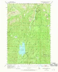
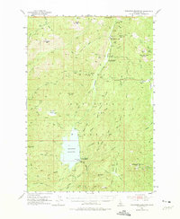
Editions of this 1953 Deadwood Reservoir Map
4 editions found
Other maps of this area

1891 · Bear Valley
USGS Topo · 1:125,000

1893 · Bear Valley
USGS Topo · 1:125,000

1909 · Garden Valley
USGS Topo · 1:125,000

1953 · Boiling Springs
USGS Topo · 1:62,500

1954 · Gold Fork
USGS Topo · 1:62,500

1954 · Warm Lake
USGS Topo · 1:62,500

1957 · Challis
USGS Topo · 1:250,000

1959 · Garden Valley
USGS Topo · 1:62,500

1960 · Challis
USGS Topo · 1:250,000

1961 · Chinook Mtn
USGS Topo · 1:62,500