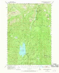
1953 Map of Deadwood Reservoir
USGS Topo · Published 1970About this map
Deadwood Reservoir sits at the heart of this mid-century survey of the Boise National Forest, serving as a central hub for the surrounding mountainous drainage. The map documents a landscape defined by forest management and resource extraction, anchored by the Upper Deadwood Guard Station and Lower Deadwood Guard Station. Mining history is preserved through the labels for the Mary Jane Mine and Mary Blue Mine, while local recreational or commercial activity is suggested by the Deadwood Lodge and the high-elevation Cupp Corral. The terrain is characterized by numerous basins, such as Tranquil Basin and Ucon Basin, and significant peaks including Monumental Peak and Whitehawk Mountain. The road network is sparse, centered on the Landmark-Stanley Road and the Deadwood Road, reflecting the area's isolation and its primary use for forestry and water management within the Deadwood River basin.
Find a feature on this map
62 named features on this map. Tap any name to fly to it.
Don’t see what you’re looking for? This feature index may not catch every label — zoom into the map to look around manually.
Map Details
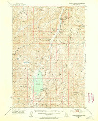
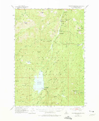
Editions of this 1953 Deadwood Reservoir Map
4 editions found
Other maps of this area

1891 · Bear Valley
USGS Topo · 1:125,000

1893 · Bear Valley
USGS Topo · 1:125,000

1909 · Garden Valley
USGS Topo · 1:125,000

1953 · Boiling Springs
USGS Topo · 1:62,500

1953 · Deadwood Reservoir
USGS Topo · 1:62,500

1954 · Gold Fork
USGS Topo · 1:62,500

1954 · Warm Lake
USGS Topo · 1:62,500

1957 · Challis
USGS Topo · 1:250,000

1959 · Garden Valley
USGS Topo · 1:62,500

1960 · Challis
USGS Topo · 1:250,000