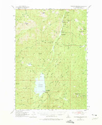
1953 Map of Deadwood Reservoir
USGS Topo · Published 1975About this map
Deadwood Reservoir dominates the central landscape of this Boise National Forest study, illustrating the mid-century water management and recreation infrastructure of Valley County. The 1950s era of mining and forest administration is visible through active sites like the Deadwood Mine near Deer Creek Pass and the Mary Blue Mine further south. These workings, alongside the Mary Jane Mine, point to the enduring interest in the region's mineral wealth. The administrative footprint of the Boise National Forest is clear, with both the Upper Deadwood Guard Station and Lower Deadwood Guard Station serving as focal points for forest management. High peaks such as Monumental Peak and Whitehawk Mountain frame the drainage basins, while specialized paths like the Monumental Trail and Sheepherder Trail suggest a landscape used for both transit and livestock, well before later developments altered these traditional mountain routes.
Find a feature on this map
70 named features on this map. Tap any name to fly to it.
Don’t see what you’re looking for? This feature index may not catch every label — zoom into the map to look around manually.
Map Details
Editions of this 1953 Deadwood Reservoir Map
4 editions found
Other maps of this area

1891 · Bear Valley
USGS Topo · 1:125,000

1893 · Bear Valley
USGS Topo · 1:125,000

1909 · Garden Valley
USGS Topo · 1:125,000

1953 · Boiling Springs
USGS Topo · 1:62,500

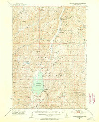
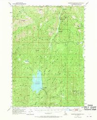
1953 · Deadwood Reservoir
USGS Topo · 1:62,500

1954 · Gold Fork
USGS Topo · 1:62,500

1954 · Warm Lake
USGS Topo · 1:62,500

1957 · Challis
USGS Topo · 1:250,000

1959 · Garden Valley
USGS Topo · 1:62,500

1960 · Challis
USGS Topo · 1:250,000