
1953 Map of Boiling Springs
USGS Topo · Published 1955About this map
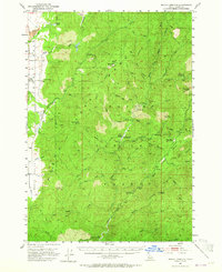
Boise National Forest encompasses the majority of this mid-century landscape, where the Middle Fork Payette River and its numerous tributaries carve through the central Idaho interior. The map illustrates a remote wilderness managed through a network of service points, including the Boiling Springs Guard Station and the Silver Creek Guard Station. Significant thermal activity is noted throughout the area, with Bull Creek Hot Springs and Rocky Canyon Hot Springs appearing as key geological landmarks.
Find a feature on this map
42 named features on this map. Tap any name to fly to it.
Don’t see what you’re looking for? This feature index may not catch every label — zoom into the map to look around manually.
Map Details
Editions of this 1953 Boiling Springs Map
3 editions found
Other maps of this area

1894 · Squaw Creek
USGS Topo · 1:125,000

1909 · Garden Valley
USGS Topo · 1:125,000

1911 · Meadows
USGS Topo · 1:125,000

1953 · Smiths Ferry
USGS Topo · 1:62,500

1953 · Banks
USGS Topo · 1:62,500

1953 · Deadwood Reservoir
USGS Topo · 1:62,500

1954 · Gold Fork
USGS Topo · 1:62,500

1954 · Warm Lake
USGS Topo · 1:62,500

1954 · Cascade
USGS Topo · 1:62,500

1955 · Baker
USGS Topo · 1:250,000