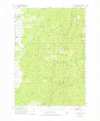
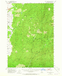
1953 Map of Boiling Springs
USGS Topo · Published 1975About this map
Boiling Springs serves as a central landmark in this 1950s study of the Valley County backcountry, where the Middle Fork Payette River winds through the prominent North Fork Range and Boise Ridge. The map documents a landscape defined by geothermal activity and Forest Service infrastructure, featuring the Boiling Springs Guard Station, Bull Creek Hot Springs, and the Silver Creek Guard Station. In the western portion, the small settlement of Alpha is situated near Round Valley, marked by the Alpha Cemetery and a local Grange hall. This edition is particularly useful for identifying the complex system of peaks and summits, such as Silver Creek Lookout and Skunk Creek Summit, which provided critical vantage points for fire observation and backcountry management during the post-war era.
Find a feature on this map
60 named features on this map. Tap any name to fly to it.
Don’t see what you’re looking for? This feature index may not catch every label — zoom into the map to look around manually.
Map Details
Editions of this 1953 Boiling Springs Map
3 editions found
Other maps of this area

1894 · Squaw Creek
USGS Topo · 1:125,000

1909 · Garden Valley
USGS Topo · 1:125,000

1911 · Meadows
USGS Topo · 1:125,000

1953 · Smiths Ferry
USGS Topo · 1:62,500

1953 · Boiling Springs
USGS Topo · 1:62,500

1953 · Banks
USGS Topo · 1:62,500

1953 · Deadwood Reservoir
USGS Topo · 1:62,500

1954 · Gold Fork
USGS Topo · 1:62,500

1954 · Warm Lake
USGS Topo · 1:62,500

1954 · Cascade
USGS Topo · 1:62,500