
1953 Map of Banks
USGS Topo · Published 1955About this map
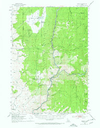
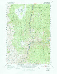
The confluence of the North Fork Payette River and South Fork Payette River anchors this 1950s survey of the Boise and Valley County line. At the center of this river junction lies the settlement of Banks, situated where the narrow canyons open into the broader Boise Mountains landscape. To the north, the elevated plateau of High Valley contains evidence of earlier communal life, including the High Valley Sch (Aband) and a local Cem near the High Valley Ranger Station.
Find a feature on this map
46 named features on this map. Tap any name to fly to it.
Don’t see what you’re looking for? This feature index may not catch every label — zoom into the map to look around manually.
Map Details
Editions of this 1953 Banks Map
3 editions found
Other maps of this area

1892 · Boise
USGS Topo · 1:125,000

1894 · Squaw Creek
USGS Topo · 1:125,000

1894 · Idaho Basin
USGS Topo · 1:125,000

1897 · Boise
USGS Topo · 1:125,000

1909 · Garden Valley
USGS Topo · 1:125,000

1953 · Smiths Ferry
USGS Topo · 1:62,500

1953 · Boiling Springs
USGS Topo · 1:62,500

1953 · Montour
USGS Topo · 1:62,500

1955 · Baker
USGS Topo · 1:250,000

1955 · Hailey
USGS Topo · 1:250,000