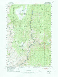
1953 Map of Banks
USGS Topo · Published 1967About this map
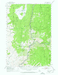
The confluence of the Payette River and the South Fork Payette River serves as the central focal point for this 1953 survey, where the settlement of Banks sits at the junction of rail and water. The Union Pacific line follows the river corridor, a critical transport link through the deep valleys of the Boise National Forest. To the west, the landscape rises toward Dry Buck Mountain and the high-elevation basin of High Valley, where the presence of the High Valley Ranger Station and several abandoned school sites reflects a shifting rural population. Local history is anchored by the Pinehurst Church and the Brownlee Cem near the southern boundary. This map captures the area before modern development, detailing the network of trails such as the Dry Buck Trail and remote landmarks like Lone Pine Lake and Mud Lake.
Find a feature on this map
51 named features on this map. Tap any name to fly to it.
Don’t see what you’re looking for? This feature index may not catch every label — zoom into the map to look around manually.
Map Details
Editions of this 1953 Banks Map
3 editions found
Other maps of this area

1892 · Boise
USGS Topo · 1:125,000

1894 · Squaw Creek
USGS Topo · 1:125,000

1894 · Idaho Basin
USGS Topo · 1:125,000

1897 · Boise
USGS Topo · 1:125,000

1909 · Garden Valley
USGS Topo · 1:125,000

1953 · Smiths Ferry
USGS Topo · 1:62,500

1953 · Boiling Springs
USGS Topo · 1:62,500

1953 · Banks
USGS Topo · 1:62,500

1953 · Montour
USGS Topo · 1:62,500

1955 · Baker
USGS Topo · 1:250,000