
1953 Map of Montour
USGS Topo · Published 1956About this map
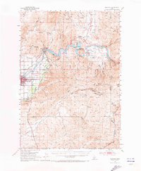
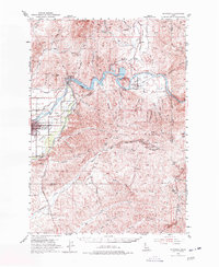
The Payette River carves through the Idaho landscape here, held back by the Black Canyon Dam to create the Black Canyon Reservoir. In this mid-century period, the small valley settlements of Sweet and Montour serve as local hubs for the surrounding ranching and mining terrain. The map reveals a transition from the agricultural flats near Emmett, where the Lincoln School and Fuller Island are situated, to the high-elevation mining claims of the Boise Mountains. Evidence of the region's mineral interests is visible in the cluster of names around Pearl Creek, including the Gem State Mine, Monroe Mine, and IXL Mine. Transportation is defined by the Union Pacific rail line and the Pacific Highway, which follow the river's path, while the rugged backcountry is marked by numerous gulches like Picket Corral Gulch and Jackass Gulch.
Find a feature on this map
54 named features on this map. Tap any name to fly to it.
Don’t see what you’re looking for? This feature index may not catch every label — zoom into the map to look around manually.
Map Details
Editions of this 1953 Montour Map
3 editions found
Other maps of this area

1892 · Boise
USGS Topo · 1:125,000

1894 · Squaw Creek
USGS Topo · 1:125,000

1897 · Boise
USGS Topo · 1:125,000

1897 · Weiser
USGS Topo · 1:125,000

1898 · Nampa
USGS Topo · 1:125,000

1953 · Eagle
USGS Topo · 1:24,000

1953 · Banks
USGS Topo · 1:62,500

1953 · Star
USGS Topo · 1:24,000

1954 · Boise North
USGS Topo · 1:24,000

1954 · Boise
USGS Topo · 1:62,500