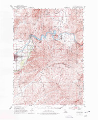
1953 Map of Montour
USGS Topo · Published 1977About this map
The Payette River carves through the heart of this Gem County landscape, dominated by the waters of the Black Canyon Reservoir and the Black Canyon Dam. The settlement at Emmett serves as a primary hub in the west, while the smaller communities of Montour and Sweet are found further east along the river and Squaw Creek. This era of development is defined by the heavy presence of the Union Pacific railroad, which follows the river valley through the Plaza and Fuller areas.
Find a feature on this map
58 named features on this map. Tap any name to fly to it.
Don’t see what you’re looking for? This feature index may not catch every label — zoom into the map to look around manually.
Map Details
Editions of this 1953 Montour Map
3 editions found
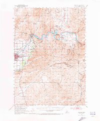
Other maps of this area

1892 · Boise
USGS Topo · 1:125,000

1894 · Squaw Creek
USGS Topo · 1:125,000

1897 · Boise
USGS Topo · 1:125,000

1897 · Weiser
USGS Topo · 1:125,000

1898 · Nampa
USGS Topo · 1:125,000

1953 · Eagle
USGS Topo · 1:24,000

1953 · Banks
USGS Topo · 1:62,500

1953 · Star
USGS Topo · 1:24,000

1953 · Montour
USGS Topo · 1:62,500

1954 · Boise North
USGS Topo · 1:24,000