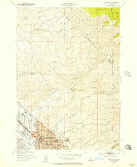
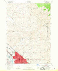
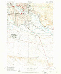
1954 Map of Boise North
USGS Topo · Published 1957About this map
Boise and the developing northern neighborhoods of Ada Co appear at a moment of significant mid-century growth along the north bank of the Boise River. The map captures the city's expanding footprint, from the well-established core containing St Marys Sch and North Jr High Sch to newer residential developments like Boise Hills Village. An intricate network of irrigation infrastructure is visible, with the Farmers Union Canal, Settlers Canal, and Thurman Mill Canal following the river’s contour to support the valley's agriculture.
Find a feature on this map
52 named features on this map. Tap any name to fly to it.
Don’t see what you’re looking for? This feature index may not catch every label — zoom into the map to look around manually.
Map Details
Editions of this 1954 Boise North Map
2 editions found
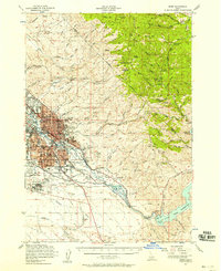
Other maps of this area

1892 · Boise
USGS Topo · 1:125,000

1897 · Boise
USGS Topo · 1:125,000
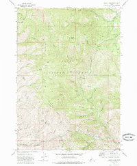
1949 · Robie Creek
USGS Topo · 1:24,000

1953 · Eagle
USGS Topo · 1:24,000
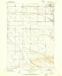
1953 · Cloverdale
USGS Topo · 1:24,000

1953 · Montour
USGS Topo · 1:62,500
1954 · Boise South
USGS Topo · 1:24,000
1954 · Boise
USGS Topo · 1:62,500

1955 · Boise
USGS Topo · 1:250,000
1957 · Cartwright Canyon
USGS Topo · 1:24,000